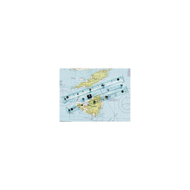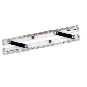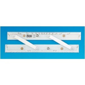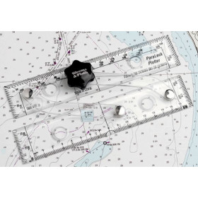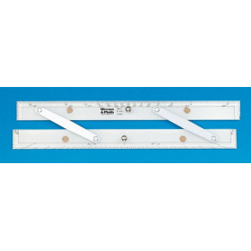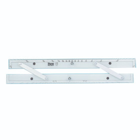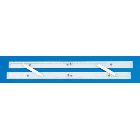




Upgrade your navigation with this 16" GPS plotting rule. Designed for quick, accurate coordinate transfers, it includes non-slip pads and a built-in protractor for effortless chart plotting.
Data sheet
Specific References
Elevate your marine navigation with this advanced parallel rule, engineered to bridge the gap between GPS technology and traditional paper charts. Designed for mariners who demand accuracy and efficiency, this tool allows you to transfer latitude and longitude coordinates from your GPS receiver directly onto your charts with unmatched precision. Say goodbye to cumbersome manual plotting and embrace a streamlined, two-step process that saves time and reduces errors, ensuring you stay on course even in the most challenging conditions.
In an era where electronic navigation dominates, this parallel rule offers a critical backup that doesn’t rely on power or software. It’s a cost-effective, fail-safe solution that enhances safety and confidence at sea. Whether you're a seasoned sailor or a weekend cruiser, this tool ensures you can plot your course with precision, combining the best of modern technology with the reliability of traditional navigation methods. Perfect for offshore adventures, coastal cruising, or emergency preparedness, it’s an indispensable companion for any mariner.
Precision Plotting for the Modern Navigator
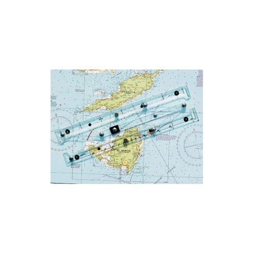
Transform the way you navigate with this 16" special parallel rule, designed to seamlessly integrate GPS technology with traditional paper charts. This isn’t just another plotting tool—it’s a game-changer for mariners who refuse to compromise on accuracy or efficiency. Whether you're plotting a course in open waters or navigating tight coastal passages, this rule ensures your GPS coordinates are transferred to your charts with pinpoint precision, reducing errors and saving valuable time.
Engineered for Speed and Accuracy
Gone are the days of tedious manual plotting. This parallel rule features an innovative straight-line action that simplifies the process into just two easy steps: align and mark. Special pencil guide holes ensure your markings are crisp and precise, eliminating the frustration of smudges or misalignments. The transparent acrylic construction provides unobstructed visibility of your chart, while stainless steel and brass components deliver durability without adding unnecessary weight. At just 0.61 lb, it’s lightweight enough for effortless handling yet robust enough to withstand the rigors of life at sea.
Stability When It Matters Most
Navigating rough waters demands tools that stay put, and this parallel rule delivers. Non-slip pads on the underside grip your chart securely, preventing unwanted shifts even in choppy conditions. The 16" length provides ample reach for plotting across larger charts, while the compact 4-1/4" width ensures it fits neatly in your navigation station. Whether you're plotting a single waypoint or an entire route, this rule’s stability and precision give you the confidence to focus on what matters most—safe and efficient navigation.
A Versatile Tool for Every Mariner
While this parallel rule is designed with GPS plotting in mind, its versatility extends far beyond. It doubles as a traditional parallel rule, complete with protractor markings for measuring angles and bearings. This makes it an all-in-one solution for both modern and classic navigation techniques. Crafted in England and backed by a limited lifetime warranty, it’s built to last and perform, no matter where your adventures take you. Whether you're a professional captain or a recreational sailor, this tool is an essential addition to your navigation arsenal.
This 16" special parallel rule is designed to deliver precision and durability in a compact, user-friendly package. Measuring 108 x 406 mm (4-1/4" x 16"), it offers ample length for plotting across standard paper charts while maintaining a slim profile for easy storage. Constructed from high-quality transparent acrylic with stainless steel and brass components, it combines strength with clarity, ensuring optimal visibility of your charts. Weighing just 0.61 lb (277 g), it’s lightweight yet sturdy, making it ideal for both handheld use and stationary plotting. The rule’s innovative straight-line action and pencil guide holes streamline the process of transferring GPS coordinates, while non-slip pads provide stability in rough conditions. Universally compatible with all paper charts, it’s a reliable tool for any navigation scenario.
The pencil guide holes allow for precise and quick marking of GPS coordinates on paper charts in just two steps, ensuring accuracy when plotting positions.
Yes, it includes all the functionalities of a traditional parallel ruler, along with additional features for GPS position plotting.
The innovative straight-line action ensures smooth and stable movement across the chart, maintaining alignment while transferring GPS coordinates or drawing lines.
Yes, the tool is made from robust, transparent acrylic combined with stainless steel and brass components, designed to withstand harsh marine conditions.
The non-slip pads provide stability on charts, especially in rough sea conditions, preventing the tool from shifting while in use.
Yes, it includes protractor markings, allowing it to be used for measuring and plotting angles on nautical charts.
Yes, its design ensures compatibility with all standard paper charts, regardless of their scale or size.
You might also like