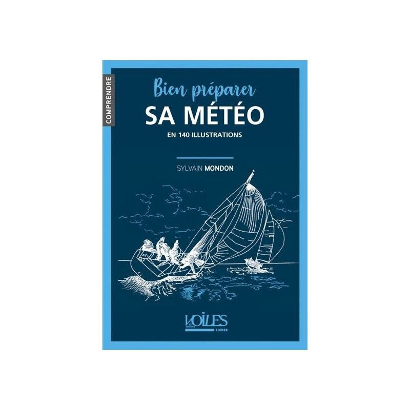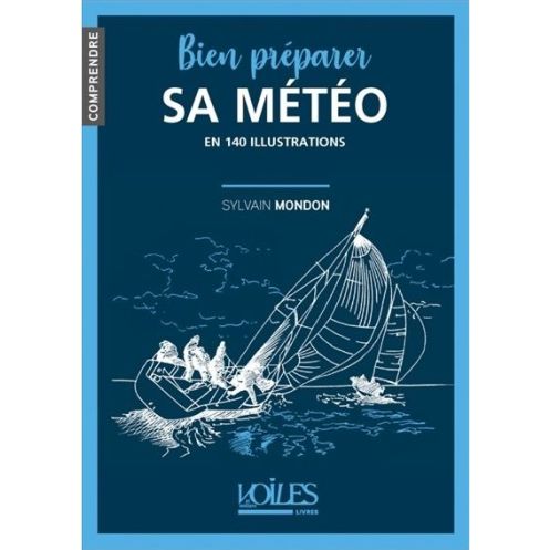




Master marine weather forecasting with 140 clear illustrations. Learn to read weather charts, interpret satellite images, and anticipate conditions for safer, smarter sailing.
Data sheet
Specific References
Imagine setting sail with the confidence of a seasoned skipper, anticipating weather shifts before they happen. This essential guide demystifies marine meteorology, transforming complex atmospheric principles into clear, actionable knowledge. Whether you're a coastal cruiser or an offshore adventurer, this book equips you with the skills to read the sky, interpret forecasts, and make informed decisions that enhance performance and safety.
Dive into the fundamentals of marine weather with expert guidance from a Météo-France engineer and avid sailor. The book breaks down core concepts like atmospheric pressure systems, wind patterns, and ocean currents, then explores specialized maritime phenomena—sea breezes, coastal effects, trade winds, and storm fronts. Each topic is illustrated with vivid, full-color diagrams, maps, and photographs, making even the most technical details easy to grasp. Learn how wind shapes wave conditions and how to predict changes before they impact your voyage.
Go beyond theory with hands-on techniques for interpreting weather data. Master the art of reading isobaric charts, decoding satellite images, and analyzing forecast maps to plan your route with precision. The book’s step-by-step approach ensures you can apply these skills immediately, whether you're preparing for a weekend sail or a long-distance passage. With 140 illustrations, you’ll visualize weather systems like never before, turning raw data into strategic advantages.
Designed for sailors who demand both efficiency and security, this guide helps you align your navigation strategy with real-time conditions. Understand how to adjust sail trim, anticipate wind shifts, and avoid hazardous weather windows. By the final page, you’ll not only interpret weather bulletins with ease but also adapt your plans proactively—ensuring smoother, faster, and safer journeys for you and your crew.
Part of the acclaimed "Understanding" collection, this book bridges the gap between technical meteorology and practical seamanship. Its concise, 88-page format delivers focused insights without overwhelming detail, making it ideal for both beginners and experienced sailors. Lightweight and portable, it’s the perfect companion to keep onboard or reference before your next departure. Elevate your sailing experience by turning weather from an unpredictable challenge into a manageable—and even advantageous—part of your journey.
Navigate with Confidence Using This Visual Guide to Marine Weather
Weather is the single most critical factor in sailing—yet many sailors rely on intuition rather than expertise when planning their voyages. "Understanding Weather: Master Your Marine Forecast in 140 Illustrations" changes that. This book distills complex meteorological concepts into clear, practical knowledge, empowering you to interpret forecasts, anticipate conditions, and make smarter decisions at sea. With 140 full-color illustrations, including detailed maps, satellite images, and step-by-step diagrams, it transforms abstract data into actionable insights. Whether you're plotting a coastal route or preparing for offshore passage, this guide ensures you’re never caught off guard by the elements.
Expert Insights from a Météo-France Engineer and Sailor
Written by Sylvain Mondon, a meteorological engineer at Météo-France and an experienced navigator, this book offers a rare blend of scientific rigor and real-world sailing expertise. Mondon breaks down atmospheric principles—like pressure systems, wind dynamics, and ocean currents—while explaining how they uniquely manifest at sea. Learn to recognize maritime-specific phenomena such as sea breezes, coastal wind effects, and the interplay between wind and waves. The book’s structured approach ensures you grasp both the "why" and the "how," from identifying trade winds to predicting storm fronts before they develop.
Hands-On Forecasting Skills for Every Sailor
This isn’t just a theoretical manual—it’s a toolkit for practical forecasting. Discover how to read isobaric charts like a professional, interpret satellite imagery for real-time weather tracking, and analyze forecast models to refine your route. The 140 illustrations serve as visual anchors, clarifying concepts like frontal systems, troughs, and ridges with precision. You’ll also learn to assess wind’s impact on sea state, helping you adjust sail trim, avoid rough patches, or capitalize on favorable gusts. By the end, you’ll move beyond passive weather checks to proactive strategy, turning forecasts into a competitive edge.
Designed for Performance, Safety, and Accessibility
Optimized for both performance and safety, this guide helps you balance speed with security. Understand how to time your departures, choose the best routes, and mitigate risks like sudden squalls or shifting winds. The book’s 88-page format is intentionally concise, focusing on high-impact knowledge without unnecessary fluff. Its lightweight, compact design (17.2 x 24 x 0.6 cm, 280 g) makes it easy to stow onboard or reference before a trip. Part of the "Understanding" collection, it’s tailored for sailors who want to deepen their expertise without wading through dense academic texts. Whether you’re a weekend cruiser or a long-distance racer, this book ensures you’re always one step ahead of the weather.
This 2024 edition is a compact yet comprehensive resource, featuring 88 pages of expertly curated content. Measuring 17.2 x 24 x 0.6 cm and weighing just 280 grams, it’s designed for easy handling and portability. The book includes 140 full-color illustrations—photographs, diagrams, maps, and satellite images—to simplify complex weather concepts. With a softcover format and a focus on practical application, it’s built for durability and frequent use, whether onboard or during pre-voyage planning.
With decades of experience in maritime publishing, this publisher specializes in practical guides for sailors, blending scientific accuracy with hands-on expertise. Their "Understanding" collection is renowned for making technical topics accessible, helping navigators of all levels enhance their skills and confidence at sea. Each book is crafted by industry professionals, ensuring reliable, actionable content for safer and more enjoyable sailing.
This book is designed for recreational sailors, whether navigating coastal waters or offshore, looking to understand marine meteorology basics and improve their weather preparation.
Yes, it provides practical guidance on interpreting isobaric charts, satellite images, and forecast maps to help sailors make informed navigation decisions.
All 140 illustrations are in color, including photographs, line drawings, maps, and other visual aids to enhance understanding.
The book covers sea breezes, site effects, trade winds, fronts, disturbances, and how wind influences sea conditions, among other key meteorological principles.
While it focuses on recreational sailing, the technical explanations of meteorological principles and forecasting tools can also benefit those with more advanced sailing experience.
The book contains 88 pages, offering a concise yet comprehensive guide to marine meteorology.
The book measures 17.2 x 24 x 0.6 cm (width x height x thickness) and weighs 280 grams, making it easy to carry on board.
You might also like