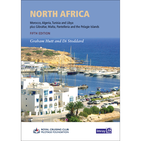



Imray - North Africa
search
  • googlemap
  • Imray - North Africa
  • Imray - North Africa
  • Imray - North Africa
  • Imray - North Africa

Imray - North Africa

€61.18
Imray
In English language Novelty
Estimated preparation time: 5 to 14 days

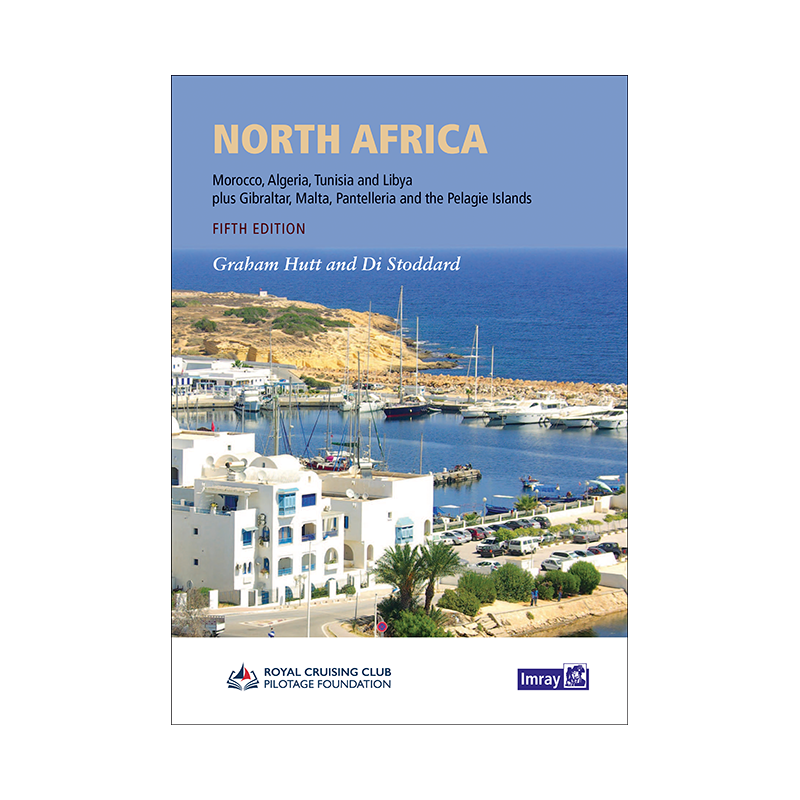
Navigate North Africa’s coasts with this updated guide. Covers Morocco, Algeria, Libya, Tunisia, and islands like Malta, featuring revised port plans and essential cruising details for safe voyages.

PIL0725

Data sheet

Year
2024 - 5th edition
Author
RCCPF / Graham Hutt
Picto
In English language
Novelty
Book in version
paper version
Book type
Guide / Pilot

Specific References

UPC
400000064338
EAN13
9781846232817
New
Description détaillée

North Africa Nautical Guide

Publication in English
Paperback edition

Your Essential Companion for Mediterranean and Atlantic Coastal Cruising

Navigate the stunning yet challenging coastlines of North Africa with confidence using this comprehensive nautical guide. Designed for sailors and cruisers, this updated fifth edition covers Morocco, Algeria, Libya, Tunisia, Gibraltar, Pantelleria, the Pelagie Islands, and Malta. Whether you're planning a coastal voyage along the Atlantic or exploring the Mediterranean, this guide delivers the critical insights and practical details you need for safe and enjoyable sailing.

Expertly Curated and Updated Content

This guide is the result of meticulous research and collaboration with the Royal Cruising Club Pilotage Foundation (RCCPF), ensuring accuracy and reliability. The 2023 edition expands its coverage to include Libya, with fully revised port plans, updated texts, and new photographs. Every section has been refreshed to reflect the latest navigational data, harbor formalities, and marina developments, making it an indispensable tool for modern cruisers.

Detailed Port and Harbor Information

From bustling marinas to secluded anchorages, this guide provides in-depth descriptions of ports and harbors across North Africa. You'll find essential details on mooring options, local facilities, and updated port formalities, streamlining your planning process. The familiar Imray cartography ensures easy navigation, while the clear, concise layout allows for quick reference whether you're at the helm or preparing your itinerary ashore.

Practical Insights for Every Sailor

Beyond charts and coordinates, this guide offers practical advice tailored to the unique challenges of North African waters. Learn about local weather patterns, tidal considerations, and cultural nuances that can impact your journey. With contributions from experienced sailors who have navigated these waters, you'll gain insights that go beyond standard pilot books, helping you avoid common pitfalls and make the most of your voyage.

Built for Durability and Convenience

Designed for life on the water, this paperback guide is built to withstand the rigors of marine environments. Its A4 format provides ample space for clear, full-color charts and detailed port plans, while the sturdy binding ensures it stays intact even in rough conditions. Weighing just 1450 grams, it’s lightweight enough to carry on board without taking up valuable space, yet comprehensive enough to cover every aspect of your journey.

Why This Guide Stands Out

Unlike generic sailing guides, this publication is laser-focused on North Africa, offering unparalleled depth and specificity. Whether you're a seasoned sailor or embarking on your first long-distance cruise, you'll appreciate the attention to detail, from updated harbor regulations to insider tips on the best anchorages. It’s not just a guide—it’s your trusted companion for exploring one of the world’s most captivating sailing regions.

Unlock the Secrets of North African Waters with This Comprehensive Nautical Guide
Planning a voyage along the North African coast? This essential guide is your key to navigating Morocco, Algeria, Libya, Tunisia, Gibraltar, and beyond with confidence. Updated for 2023, the fifth edition of this trusted resource expands its coverage to include Libya, offering sailors the most current and detailed information available. With revised port plans, new photographs, and updated texts, it’s the ultimate tool for cruisers exploring the Mediterranean or Atlantic coastlines.

Expertly Crafted for Sailors, by Sailors
Written in collaboration with the Royal Cruising Club Pilotage Foundation (RCCPF), this guide combines decades of sailing experience with meticulous research. Every detail—from harbor formalities to local weather patterns—has been carefully curated to help you navigate safely and efficiently. The familiar Imray cartography ensures seamless integration with your existing navigation tools, while the full-color printing makes it easy to read and reference, even in low-light conditions.

Practical, Reliable, and Built to Last
Weighing just 1450 grams, this A4-sized paperback guide is designed for durability without sacrificing portability. Its sturdy binding and high-quality paper stand up to the demands of life on the water, while the clear, concise layout ensures you can find the information you need quickly. Whether you're docking in a busy marina or anchoring in a remote cove, this guide provides the insights you need to make informed decisions and enjoy a stress-free voyage.

This fifth edition nautical guide is packed with essential features to support your cruising adventures. Published in 2023, it includes full-color printing and an A4 format for easy readability, with a sturdy hardcover binding designed to withstand marine conditions. Weighing 1450 grams, it balances durability and portability, making it ideal for on-board use. Written in English, this guide covers North Africa’s coastlines, including Morocco, Algeria, Libya, Tunisia, Gibraltar, Pantelleria, the Pelagie Islands, and Malta, with updated port plans and navigational details.

With a legacy spanning decades, this publisher is renowned for producing high-quality nautical guides and charts trusted by sailors worldwide. Their publications are crafted in collaboration with experienced mariners and organizations like the Royal Cruising Club Pilotage Foundation, ensuring accuracy, reliability, and practical insights for every voyage. Each guide is designed to meet the unique needs of cruisers, combining expert knowledge with user-friendly formats to enhance safety and enjoyment on the water.

  • This nautical guide offers unparalleled coverage of North Africa’s coastlines, with updated port plans, harbor formalities, and navigational details tailored for modern cruisers.
  • Its full-color printing and A4 format ensure clarity and ease of use, while the durable hardcover binding makes it resilient for on-board conditions.
  • Written by experts with firsthand sailing experience, it provides practical insights and reliable information to help you navigate confidently, whether you're exploring the Mediterranean or the Atlantic coast.
What regions are covered in the 5th edition of this nautical guide?

The guide covers the coasts of North Africa, including Morocco, Algeria, Libya, Tunisia, Gibraltar, Pantelleria, the Pelagie Islands, and Malta.

Are the port plans and charts updated in this edition?

Yes, this edition includes revised port plans, updated texts, and new photos, along with familiar Imray cartography.

What type of binding does this guide use?

The guide is bound in a hardcover format for durability.

Is this guide suitable for Atlantic coastal navigation?

Yes, it is ideal for both Mediterranean and Atlantic coastal navigation along North Africa.

What are the dimensions of this nautical guide?

The guide is in A4 format, making it easy to handle and store on board.

Does this edition include information on port formalities?

Yes, it provides detailed and modernized information on port formalities, marinas, and anchorages.

Who are the authors of this nautical guide?

The guide is authored by Graham Hutt and Di Stoddard for the Royal Cruising Club Pilotage Foundation (RCCPF).

Loading...