Due to technical issues currently affecting our @nautic-way.com email system, we kindly ask you to temporarily use our backup email [email protected] Please continue using this address until this notice is removed.
List of products by brand LINZ - Land Information New Zealand
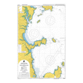
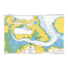
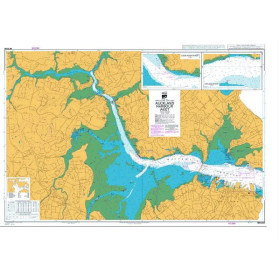
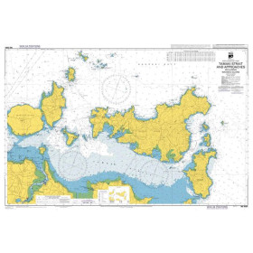
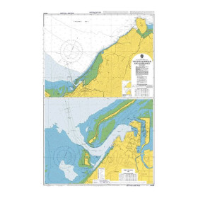
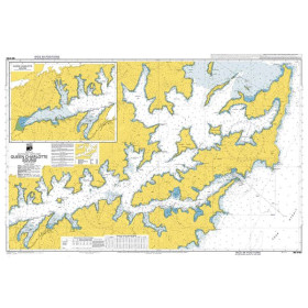
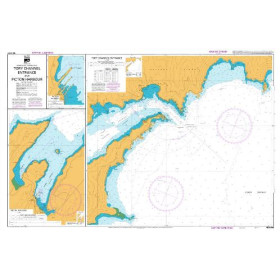
LINZ (Land Information New Zealand) is New Zealand's official provider of nautical charts covering New Zealand waters and selected Pacific areas. Nautic Way offers a selection of these paper charts for coastal and offshore navigation.
Land Information New Zealand (LINZ) is the New Zealand government agency responsible for official geographic information, including hydrographic products. Its nautical charts are an important source of navigational information for planning and conducting voyages in New Zealand waters and selected Pacific regions. The chart series covers major coastal and maritime areas, including port approaches, straits, bays and offshore waters. Charts provide essential information for safe navigation, such as depths and soundings, seabed features, navigational hazards, shoals, reefs, wrecks, buoyage, lights and other aids to navigation. Nautic Way distributes a selection of LINZ paper nautical charts, mainly in English. These charts help sailors plan routes around New Zealand's North and South Islands, including Cook Strait, as well as in selected Pacific areas. They are intended for recreational sailors, offshore cruisers, professional skippers and maritime users preparing voyages in this part of the world. To obtain suitable chart coverage, navigators should select charts according to their route, required scale and intended sailing areas. Official charts should be used with the latest corrections and navigational information, in accordance with the applicable requirements.

 Click here to open our interactive map and select your charts