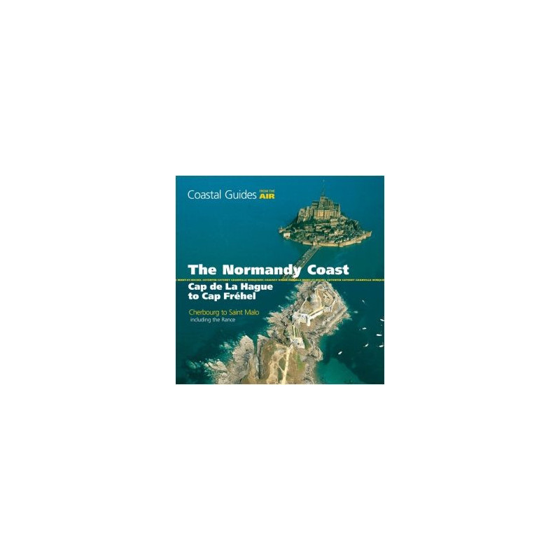



Capture the essence of Normandy’s coastline with breathtaking aerial photography. This guide covers harbors, landmarks, and trails, making it a must-have for sailors, hikers, and adventurers alike.
Data sheet
Specific References
Discover the Normandy coastline like never before with this unique aerial guide, designed to give boaters, sailors, and explorers an unparalleled visual advantage. From Cap de la Hague to Cap Fréhel—covering the stretch between Cherbourg and Saint-Malo—this book transforms coastal navigation with stunning, full-color aerial photography. No more guessing about shorelines, anchorages, or harbor entrances; see them as they truly appear from above, ensuring safer and more confident voyages.
Whether you're a seasoned sailor, a motorboat enthusiast, or a dinghy adventurer, this guide is your go-to resource for navigating Normandy’s waters. The high-resolution aerial images clearly mark ideal mooring spots, river estuaries, and key landmarks, while accompanying text highlights cycling paths and coastal hikes for those looking to explore on land. It’s not just a navigation tool—it’s a complete planning companion for anyone charting a course along this historic coastline.
While primarily crafted for mariners, this book extends its value to vacationers, hikers, horseback riders, and cyclists. The detailed aerial views reveal hidden gems along the coast, from medieval castles and scenic viewpoints to charming villages, historic churches, and archaeological sites. Whether you're plotting a sailing route or planning a day trip ashore, this guide bridges the gap between sea and land, offering insights that traditional maps simply can’t provide.
Designed for life on the water, this paperback guide features 104 pages of high-quality, full-color imagery in a convenient 215x215 mm square format. Its compact size fits easily in a cockpit or backpack, while the sturdy binding ensures it withstands the rigors of marine environments. Weighing just 1.6 kg, it’s lightweight enough to carry anywhere, yet packed with the critical details you need for a successful journey.
Whether you're plotting a multi-day sailing expedition, a weekend fishing trip, or a coastal road trip, *The Normandy Coast From the Air* delivers the visual and practical insights you need. It’s more than a guide—it’s your key to unlocking the full potential of Normandy’s breathtaking coastline, both on and off the water.
Navigate Normandy’s Coastline with Unmatched Clarity
Forget traditional charts and static maps—*The Normandy Coast From the Air* revolutionizes coastal navigation by offering a bird’s-eye view of one of Europe’s most iconic shorelines. This isn’t just another guidebook; it’s a strategic tool that combines stunning aerial photography with practical insights, giving sailors, boaters, and explorers the confidence to navigate with precision. Covering the 200-mile stretch from Cap de la Hague to Cap Fréhel, this book is your ultimate companion for safe, efficient, and enjoyable voyages along the Normandy coast.
Designed for Mariners, Loved by Adventurers
At its core, this guide is built for those who live on the water. Sailors, motorboaters, and dinghy enthusiasts will appreciate the detailed aerial imagery that highlights safe anchorages, harbor entrances, and river estuaries. But its appeal doesn’t stop at the water’s edge. Hikers, cyclists, and vacationers will find equal value in the book’s depiction of coastal trails, historic sites, and scenic viewpoints. With 104 pages of full-color photography, it’s a versatile resource that bridges the gap between marine navigation and land exploration.
Precision Meets Practicality
Every detail in this guide is crafted for real-world use. The square 215x215 mm format is designed to fit comfortably in a cockpit or backpack, while the durable paperback binding ensures it holds up in marine environments. Weighing just 1.6 kg, it’s lightweight enough to take anywhere, yet packed with the critical information you need—whether you’re identifying a hidden anchorage or planning a detour to a historic castle. The aerial perspective eliminates the ambiguity of traditional maps, allowing you to spot landmarks, hazards, and points of interest with ease.
A Visual and Tactical Advantage
What sets this guide apart is its ability to merge visual appeal with tactical utility. The full-color aerial photographs provide an immediate, intuitive understanding of the coastline’s contours, while the accompanying text offers practical advice on everything from cycling routes to coastal hikes. It’s a tool that doesn’t just show you where to go—it helps you plan how to get there, whether by sea or by land. For anyone exploring Normandy’s waters or shores, this book is an indispensable resource that enhances both safety and enjoyment.
This guide offers a compact yet comprehensive resource for navigating the Normandy coast, featuring 104 pages of full-color aerial photography in a durable paperback format. Measuring 215x215 mm and weighing 1.6 kg, it’s designed for easy handling in marine environments while providing detailed visual references for sailors, boaters, and explorers.
With a reputation for producing high-quality maritime and travel guides, this publisher is known for delivering reliable, visually engaging resources that cater to both professional and recreational navigators. Their publications are trusted by sailors, boaters, and adventurers worldwide for their accuracy, practicality, and innovative approach to exploration.
The guide covers the Normandy coast from Cap de la Hague to Cap Fréhel, including key locations like Cherbourg and Saint-Malo.
All aerial photographs in the guide are in full color, showcasing coastal contours, landmarks, and points of interest.
Yes, it highlights cycling paths and coastal hiking trails, making it useful for hikers, cyclists, and horseback riders as well.
The book weighs approximately 1.6 kg, making it portable for on-board use or travel.
Yes, it provides detailed visual references for safe moorings, harbor entrances, and navigational landmarks, ideal for all skill levels.
The guide was published in 2010, ensuring up-to-date coastal and navigational details at the time of release.
Yes, it includes landmarks such as castles, churches, villages, and other historical sites along the Normandy coast.
You might also like