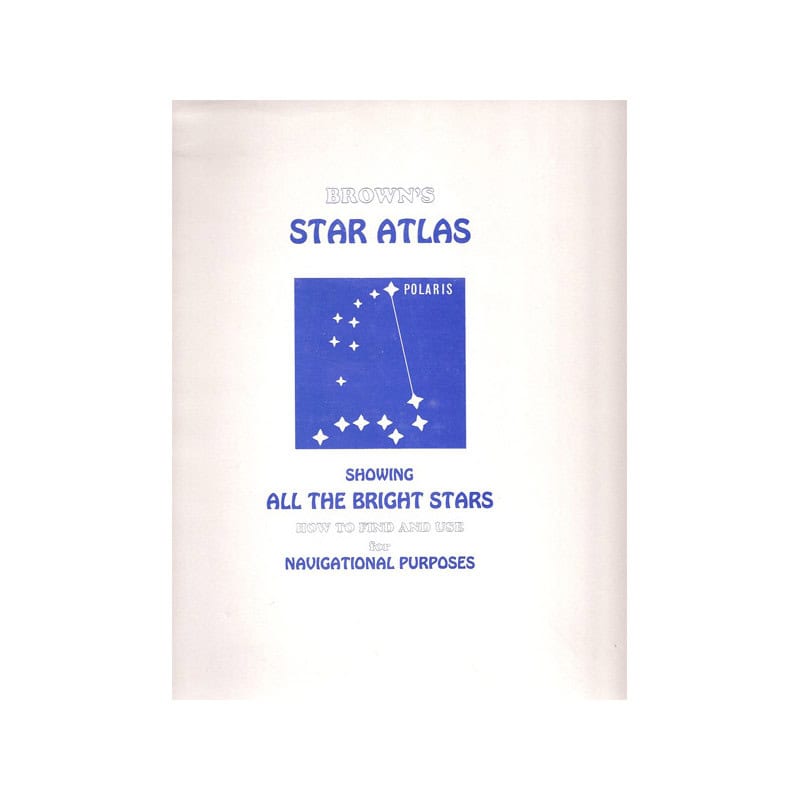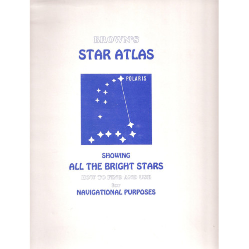



Essential for navigators, this atlas offers clear charts and step-by-step methods to identify stars and determine ship position. Ideal for beginners and experts preparing for exams or voyages.
Data sheet
Specific References
Master the night sky with this essential guide to identifying and utilizing bright stars for celestial navigation. Designed for both beginners and experienced navigators, this comprehensive atlas bridges the gap between theory and practical application, making it an indispensable resource for sailors, students, and astronomy enthusiasts alike.
Start your journey into the cosmos with ease. The first part of this atlas is tailored for novices, featuring six large, meticulously crafted star charts by M. Denning, F.R.A.S. These charts simplify the process of locating major constellations and bright stars, transforming the vast expanse of the night sky into an accessible and navigable map. Whether you're on land or at sea, these charts provide a clear and intuitive introduction to the stars above.
Elevate your navigation skills with the second part of the atlas, which delves into the practical use of stars for determining a ship's position. This section covers a wide array of methods, including calculating the local hour angle of Aries, identifying stars near the meridian, and taking stellar altitude observations. Learn how to determine latitude using the meridian or ex-meridian altitude of a star, or by leveraging the North Star (Polaris). The atlas also guides you through azimuth calculations, longitude determination by star altitude, and simultaneous observations of two stars for intercepts.
This atlas doesn’t just stop at basic techniques. It provides in-depth explanations of advanced methods such as the cosine and haversine methods, star identification, and solutions using ABC tables. For those who prefer a visual approach, the atlas includes graphical solutions to common navigation problems. Additionally, a section on the Greek alphabet ensures you can confidently interpret star names and celestial coordinates, making this a truly all-encompassing resource.
Originally published in 1977, this atlas has stood the test of time as a trusted reference for mariners preparing for Board of Trade examinations. Its clear instructions, detailed charts, and practical examples make it an invaluable tool for anyone looking to enhance their celestial navigation skills. Whether you're studying for professional certifications or simply exploring the art of navigation, this atlas provides the knowledge and confidence needed to navigate by the stars with precision.
Navigate the Skies with Precision Using the Brown's Star Atlas
Discover the art of celestial navigation with this time-tested guide, meticulously crafted to transform the night sky into your most reliable navigational tool. Whether you're a seasoned sailor, a maritime student, or an astronomy enthusiast, this atlas equips you with the knowledge and techniques to identify stars, calculate positions, and navigate with confidence. Weighing just 1.5 kg, this portable yet comprehensive resource is designed for both classroom learning and practical use at sea, making it an essential companion for anyone serious about mastering the stars.
A Beginner’s Gateway to the Stars
No prior experience? No problem. The first section of this atlas is dedicated to helping beginners find their way among the constellations. Featuring six large, expertly drawn star charts by M. Denning, F.R.A.S., this section simplifies the process of identifying major constellations and bright stars. These charts serve as your roadmap to the night sky, making it easy to recognize key celestial landmarks and build a strong foundation in astronomy and navigation.
Advanced Techniques for Professional Navigators
For those ready to take their skills to the next level, the second part of the atlas dives into the practical applications of celestial navigation. Learn how to determine your ship’s position using a variety of methods, from calculating the local hour angle of Aries to taking altitude observations of stars near the meridian. This section covers essential techniques such as determining latitude by the North Star (Polaris), using azimuths for precise direction finding, and even solving complex navigation problems with cosine and haversine methods. With step-by-step instructions and clear examples, you’ll gain the expertise needed to navigate accurately under any conditions.
Tools for Every Navigator’s Toolkit
Beyond the basics, this atlas offers a wealth of advanced tools to refine your navigation skills. Explore graphical solutions for quick problem-solving, learn to use ABC tables for efficient calculations, and familiarize yourself with the Greek alphabet to confidently interpret star names and coordinates. Whether you're preparing for professional exams or simply honing your craft, this atlas provides the resources to tackle even the most challenging navigation scenarios with ease.
This essential celestial navigation guide is presented in a convenient paperback format, weighing 1.5 kg for easy portability. Written entirely in English, it is published by a renowned maritime publisher and features a 1977 edition, ensuring a wealth of time-tested knowledge and techniques. Ideal for both educational and practical use, this atlas is a must-have for anyone looking to master the art of navigating by the stars.
With a legacy rooted in maritime publishing, this publisher has been a trusted name in navigation and nautical education for generations. Known for producing high-quality, authoritative guides, their works are widely used by sailors, students, and professionals in the field of maritime navigation. Their commitment to accuracy and practicality has made their publications a staple in both classrooms and on the high seas.
This atlas is designed for both beginners and experienced navigators. The first part helps beginners identify major constellations and bright stars, while the second part covers advanced celestial navigation techniques.
Yes, it provides detailed methods for determining a ship's position, including local hour angle of Aries, star observations near the meridian, altitude measurements, and latitude calculations using the Pole Star.
Yes, it includes graphical solutions for navigation problems, along with tables like the ABC tables for quick reference and problem-solving.
It covers multiple star identification methods, including simultaneous observations of two stars for interceptions, cosine and haversine methods, and the use of the Greek alphabet for star naming.
Yes, it is specifically designed to assist with Board of Trade examinations, offering comprehensive guidance on celestial navigation techniques.
The atlas weighs approximately 1.5 kg, making it portable yet comprehensive for navigation purposes.
You might also like