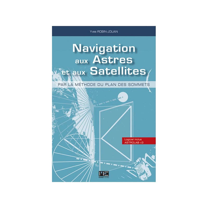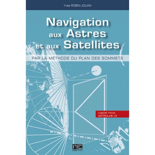



Master celestial and satellite navigation with the innovative "Summit Plane Method," bridging tradition and modern tech for precise positioning. Includes a CD-ROM.
Data sheet
Specific References
Discover a groundbreaking method that bridges the gap between traditional celestial navigation and modern satellite-based systems. This book introduces the vertex plane method, a unified approach that leverages geometric properties to simplify and enhance navigation techniques. Whether you're a seasoned sailor, a navigation enthusiast, or a professional in the maritime industry, this work offers a fresh perspective on how to integrate time-tested practices with cutting-edge technology.
The vertex plane method is built on simple yet previously unexplored geometric properties, offering a streamlined and intuitive way to approach navigation. This book breaks down complex concepts into digestible chapters, guiding you through the historical context and the step-by-step development of calculation methods. With clarity and precision, it demonstrates how to apply this method to both celestial bodies and satellites, making it a must-have resource for modern navigators.
Unlike conventional navigation manuals, this work doesn’t just compare celestial and satellite navigation—it unifies them. By highlighting their shared principles and practical synergies, it equips navigators with the tools to adapt to any scenario, from traditional seafaring to high-tech satellite systems. Whether you're navigating by the stars or relying on GPS, this book ensures you have a comprehensive, adaptable, and future-proof approach to navigation.
Written by Yves Robin-Jouan, a respected figure in maritime navigation, this book combines theoretical rigor with practical insights. Its clear explanations, supported by diagrams and examples, make it accessible to both beginners and experts. The inclusion of a CD-ROM further enhances the learning experience, allowing readers to engage with the material in a dynamic and interactive way.
Master the Art of Navigation with a Unified, Cutting-Edge Method
Step into the future of navigation with this groundbreaking guide that seamlessly blends the timeless art of celestial navigation with the precision of satellite-based systems. "Celestial and Satellite Navigation Using the Vertex Plane Method" is not just a book—it’s a revolutionary approach to understanding and applying navigation techniques that transcend traditional boundaries. Whether you're navigating the open seas or relying on advanced satellite technology, this method provides a cohesive framework to tackle any challenge with confidence.
A Dual Approach for Modern Navigators
This book introduces the vertex plane method, a powerful and innovative technique that leverages geometric principles to simplify navigation. Unlike conventional methods that treat celestial and satellite navigation as separate disciplines, this approach unifies them, offering a versatile and adaptable solution for navigators. By addressing navigation in both 2D (celestial) and 4D (satellite) dimensions, it ensures you’re equipped to handle any scenario, from traditional seafaring to high-tech satellite systems.
From Theory to Practice
Written by Yves Robin-Jouan, a leading expert in maritime navigation, this book is designed to be both informative and practical. It guides you through the historical evolution of navigation methods, breaking down complex concepts into clear, actionable steps. Each chapter is concise and focused, making it easy to grasp even the most intricate details. Whether you're a student, a professional navigator, or an enthusiast, you’ll find this book an invaluable resource for mastering navigation techniques.
Interactive Learning with CD-ROM
Enhance your understanding with the included CD-ROM, which provides interactive tools to explore the vertex plane method in depth. This dynamic addition allows you to visualize and apply the concepts discussed in the book, making your learning experience more engaging and effective. It’s the perfect companion for anyone looking to deepen their knowledge of navigation.
Built for Real-World Application
This book doesn’t just teach theory—it prepares you for real-world challenges. By demonstrating how to apply the vertex plane method to both celestial bodies and satellites, it ensures you’re ready to navigate with precision, no matter the conditions. Whether you're dealing with limited visibility, equipment failure, or simply looking to refine your skills, this method offers a reliable and adaptable solution.
This comprehensive guide to celestial and satellite navigation is presented in a 128-page paperback edition, making it both portable and practical for on-the-go learning. Measuring 15.5 cm × 22.9 cm × 1.4 cm and weighing just 0.565 kg, it’s designed for easy handling and storage. Published in 2013, this book includes a CD-ROM for interactive learning, ensuring you have all the tools needed to master the vertex plane method.
With a strong reputation in the maritime publishing industry, this publisher is dedicated to producing high-quality, technically rigorous works for navigators, sailors, and maritime professionals. Their catalog includes a wide range of books that blend tradition with innovation, offering practical solutions for modern challenges in navigation and seamanship.
The book introduces the 'summit plane method,' a unifying approach that applies geometric principles to both celestial and satellite navigation, demonstrating their complementarity and potential integration.
It treats celestial navigation as a 2-dimensional problem and satellite navigation as a 4-dimensional one, showing how a single method can solve both while highlighting their duality and coherence.
Yes, it guides readers through the historical and technical foundations of navigation methods in short, structured chapters, making complex concepts accessible.
Yes, it comes with a CD-ROM that complements the theoretical content, though specific tools or software details are not provided.
The book measures 15.5 cm × 22.9 cm × 1.4 cm and weighs 0.565 kg, with a softcover binding.
No, the book is written exclusively in French.
The book was written by Yves Robin-Jouan, an expert in navigation methods, and published in 2013.
You might also like