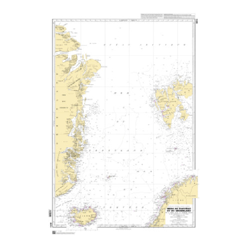
Shom is the Hydrographic and Oceanographic Service of the French Navy.
shom-rastgeo-6014
Data sheet
- Year
- chart printed to order incorporating the latest corrections
- Author
- Shom
- Scale
- 1:2.748.100
- Picto
- Carte ou livre en version numérique
En langue française
- Classification scale paper chart
- Offshore
- Digital chart type
- Format raster géotiff
- Digital media
- téléchargement
- Navigation area
- Océan Arctique
- Digital char version
- new
New


 100% secure payments


