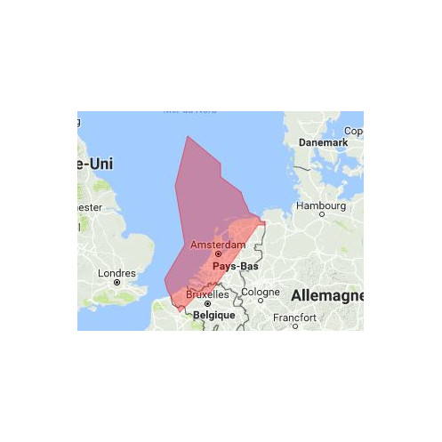


Data sheet
 100% secure payments


You might also like
When ordering, please tell us your SeaPro dongle number to create the unlock code for your chart area.
span>
> To purchase an update, you must already have the same SeaPro card, covering the same geographical area, no matter its seniority.
We strive to only release the latest versions with updates.
The Admiralty's marine charts comply with the SOLAS (Safety of Life at Sea) regulations and are ideal for professional, commercial and recreational use. charts in the series include a range of scales useful for navigational planning, ocean crossings, coastal navigation and port entry.
They are a reproduction of the official S57 format ENC charts and present all the details of the paper charts with their usual colors and symbols but with the flexibility to zoom, readability and display fluidity enabled by the vectorization. / p>
The chart display can be customized (colors, rotation, selection of the data to be displayed) and it is possible to obtain detailed information on each object of the map.
charts are offered as a national or regional pack containing all available S57 data but for a price well below that of ENC.
Keeping up to date:
The Livechart nautical charts are kept up to date daily, the day of the edition they integrate the last updates. The card's edition year is shown on it.