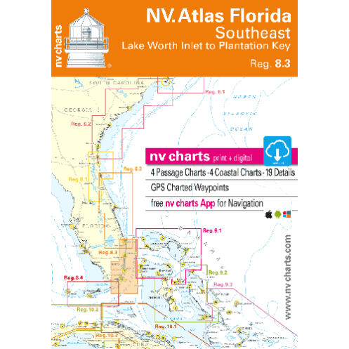
NV Charts - Reg. 8.3 - Florida, Southeast, Lake Worth to Plantation Key
search
  • googlemap
  • NV Charts - Reg. 8.3 - Florida, Southeast, Lake Worth to Plantation Key
  • NV Charts - Reg. 8.3 - Florida, Southeast, Lake Worth to Plantation Key

NV Charts - Reg. 8.3 - Florida, Southeast, Lake Worth to Plantation Key

€46.45
NV Charts
Carte papier folio + numérique En langue allemande En langue anglaise
NV Charts is Germany's largest nautical chart publisher, producing and distributing nautical charts for areas in Europe, the Caribbean and the United States, East Coast.
9883

Data sheet

Year
chart to the latest edition
Author
NV VERLAG
Scale
Folio
Picto
Carte papier folio + numérique
En langue allemande
En langue anglaise
Classification scale paper chart
Folio
Paper chart format
Folio chart
Navigation area
Océan Atlantique
Chart type
new

Specific References

ean13
9783945902332
New
Description détaillée

Nautical chart + download.

We endeavour to sell only the latest versions of nautical charts that include the most recent updates.

Navicarte nautical charts use the meter as reference unit.

Keeping your chart folio up to date on a regular basis enables the integration on new information (new hydrographic data, new regulations, modifications of navigation marks or harbour infrastructure, etc.) and it also makes them compliant with international standards.

The pack:

  • Pack of 20 to 30 nautical charts
  • The Chartkit is composed of a dozen sheets recto / verso, for a total of 20 to 30 nautical charts on the navigation area: from the marinas detail charts, anchorages, to large-scale crossing charts.
  • A new and more convenient single format (A2) to facilitate the use of mapping at the chart table of your boat.
  • All the charts of your navigation zone covering the coasts of France, Spain and Italy, provided in a plastic pocket in the format, from the detailed port plan (1/ 2,000th) to the crossing chart (1/10.000ème).

Inset: According to the navigation zone, several insets - mainly harbours - can be found.

Reprint and update: To make it easier to update, Navicarte charts are reprinted regularly, taking into account corrections published by notice. The year of the drawing of the chart is worn on it.

Loading...