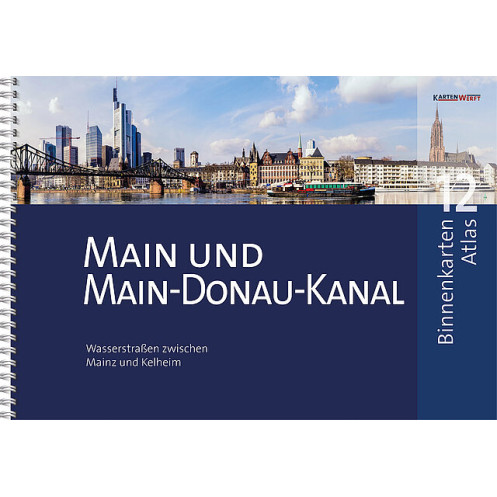
KartenWerft - BinnenKarten Atlas 12 - Main und Main-Donau-Kanal
search
  • googlemap
  • KartenWerft - BinnenKarten Atlas 12 - Main und Main-Donau-Kanal
  • KartenWerft - BinnenKarten Atlas 12 - Main und Main-Donau-Kanal
  • KartenWerft - BinnenKarten Atlas 12 - Main und Main-Donau-Kanal
  • KartenWerft - BinnenKarten Atlas 12 - Main und Main-Donau-Kanal
  • KartenWerft - BinnenKarten Atlas 12 - Main und Main-Donau-Kanal
  • KartenWerft - BinnenKarten Atlas 12 - Main und Main-Donau-Kanal

KartenWerft - BinnenKarten Atlas 12 - Main und Main-Donau-Kanal

€48.75
Tax included
KartenWerft
En langue danoise Carte papier folio + numérique En langue allemande En langue anglaise
En stock
The Imray charts are folded in a format close to the A4 and delivered in sturdy PVC pockets.
11299

Data sheet

Year
2021
Scale
Folio
Picto
Carte papier folio + numérique
En langue allemande
En langue anglaise
En langue danoise
Classification scale paper chart
Folio
Navigation area
Mer Baltique
Chart type
new
New
Last items in stock
100% secure payments
Description détaillée

Waterways between Mainz and Kelheim.

Area sections included: Main and Main-Danube Canal.

The inland map atlases appear in a new edition at irregular intervals of two to five years. The included BinnenKarte Digital are continuously updated and are up-to-date upon installation. Thanks to the RevierService, which is included free of charge, they remain up-to-date for one year from the initial installation.

  • INTERNAL MAPS ATLAS 12 in handy A3 format, ring-bound
  • 40 content pages
  • 26 map pages
  • 26 inland maps at a scale of 1:40,000
  • Area overview and planning map for uncomplicated trip planning
  • BINNENKARTEN DIGITAL 12 for the app KartenWerft Navgo (for Android and iOS)
  • 365-day REVIERS ERVICE consisting of updates to maps and district information as well as district reports
  • Professional cartography in an attractive layout
  • Easy to use thanks to a clear structure, catchy symbols and north alignment of all cards
  • Comprehensive textual and visual presentation of the respective district sections
  • Water protection through high-quality and transparent atlas pocket

INLAND CHARTS included :

  • 12.0 | 12.0A Area overview & planning map | map legend
  • 12.1 | 12.2 Mainz to Rüsselsheim | Frankfurt am Main
  • 12.3 | 12.4 Offenbach am Main bis Hanau | Krotzenburg bis Kleinostheim
  • 12.5 | 12.6 Aschaffenburg to Wallstadt | Klingenberg to Miltenberg
  • 12.7 | 12.8 Freudenberg to Faulbach | Wetheim to Marktheidenfeld
  • 12.9 | 12.10 Rothenfels bis Steinbach | Neuendorf bis Karlstadt
  • 12.11 | 12.12 Himmelstadt to VeitshÖchheim | Wuerzburg
  • 12.13 | 12.14 Goßmannsdorf to Kitzingen | Dettelbach to Wipfeld
  • 12.15 | 12.16 Schweinfurt | Ottendorf to Hassfurt
  • 12.17 | 12.18 Knetzgau bis Eltmann | Bamberg
  • 12.19 | 12.20'strullendorf to Forchheim | Hausen to Erlangen
  • 12.21 | 12.22 Nuremberg | Eibach to Leerstetten
  • 12.23 | 12.24 Eckersmühlen to Hilpoltstein | Bachhausen to Beilngries
  • 12.25 | 12.26 Dietfurt to Riedenburg | Kelheim

All BINNENKARTEN are also available as laminated single sheets. The most popular BINNENMAPS from the area are listed below and can be ordered there. In addition, we have the other BINNENKARTEN available in small numbers. These are available on request.

Loading...