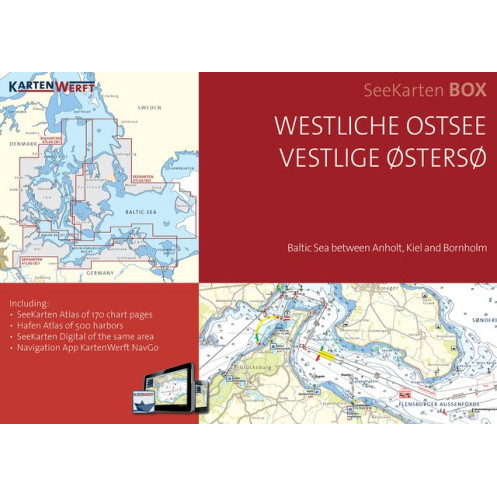
KartenWerft - Seekarten box - Westliche Ostsee
search
  • googlemap
  • KartenWerft - Seekarten box - Westliche Ostsee
  • KartenWerft - Seekarten box - Westliche Ostsee
  • KartenWerft - Seekarten box - Westliche Ostsee
  • KartenWerft - Seekarten box - Westliche Ostsee
  • KartenWerft - Seekarten box - Westliche Ostsee
  • KartenWerft - Seekarten box - Westliche Ostsee
  • KartenWerft - Seekarten box - Westliche Ostsee
  • KartenWerft - Seekarten box - Westliche Ostsee
  • KartenWerft - Seekarten box - Westliche Ostsee
  • KartenWerft - Seekarten box - Westliche Ostsee
  • KartenWerft - Seekarten box - Westliche Ostsee
  • KartenWerft - Seekarten box - Westliche Ostsee
  • KartenWerft - Seekarten box - Westliche Ostsee

KartenWerft - Seekarten box - Westliche Ostsee

€194.73
Tax included
KartenWerft
En langue danoise Carte papier folio + numérique En langue allemande En langue anglaise
En stock
Seakarten is the benchmark for river maps in Germany
20999

Data sheet

Year
2022
Scale
Folio
Picto
Carte papier folio + numérique
En langue allemande
En langue anglaise
En langue danoise
Classification scale paper chart
Folio
Navigation area
Mer Baltique
Chart type
new
New
Last items in stock
100% secure payments
Description détaillée

Seekarten box includes the paper version and the digital version.

The three NAUTICAL CHARTS ATLANTS DE1, DK1 and DK2 in one BOX.

Baltic Sea between Anholt, Kiel and Bornholm [incl. DIGITAL SEA CHARTS DE1, DK1 and DK2].

The SeeKarte is published annually in a new edition in the spring before the start of the season.

  • 3 nautical charts atlases in handy A3 format, ring-bound
  • 19 REGION MAPS on a scale of 1:360,000 to 1:240,000
  • 62 COASTAL MAPS at a scale of 1:120,000 to 1:80,000
  • 146 DETAIL MAPS at a scale of 1:40,000 to 1:20,000
  • 3 PORT ATLANTS (A4 format) with AERIAL PHOTOS and PORT MAPS on a scale of 1:7,500 to 1:5:00 of 500 ports
  • SEEKARTEN DI
  • GITAL DE1, DK1 and DK2 for the app KartenWerft Navgo (for Android and iOS)
  • 365-day REVIERS ERVICE consisting of updates to the district notices and district reports
  • Professional cartography in an attractive layout
  • Titles and texts in German and Danish, terms and brief information in English
  • Easy to use thanks to a clear structure and catchy symbols
  • Water protection through high-quality and transparent atlas pocket
  • The SEAMAPS are based on licensed data from the Federal Maritime and Hydrographic Agency (BSH), the Danish Geodata Agency (DGA) and the Swedish Maritime Administration (SMA).
Loading...