Navionics+ Regular on SD card - micro SD - new card
In 1984, Navionics revolutionized boating by introducing the world's first digital chartplotter, called Geonav. Nearly 40 years later, Navionics boasts the world's largest database of nautical charts and inland waterways.

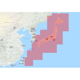
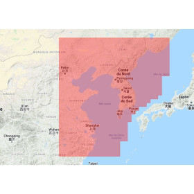
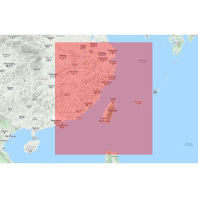
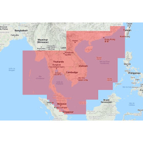
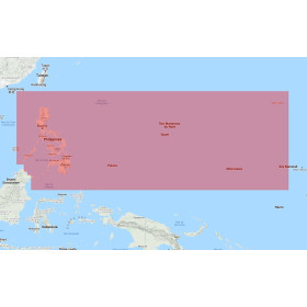
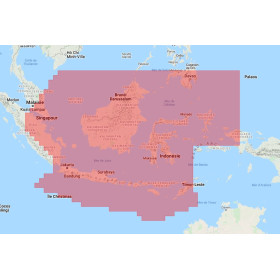
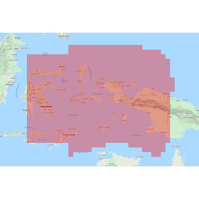
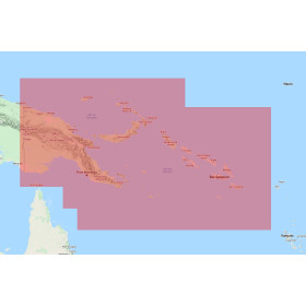
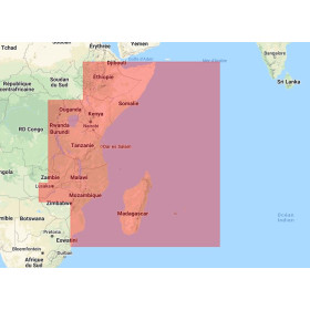
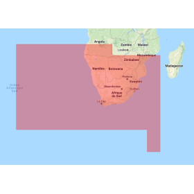
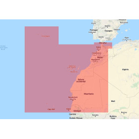
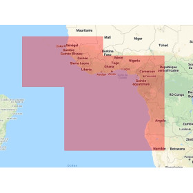
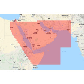
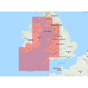
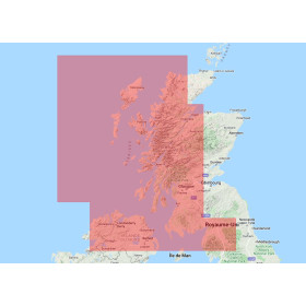
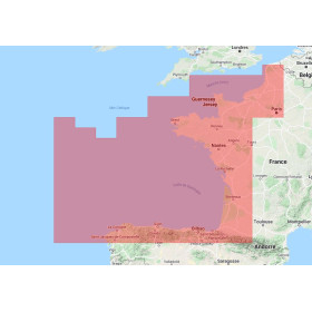
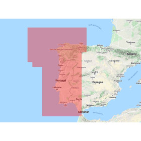
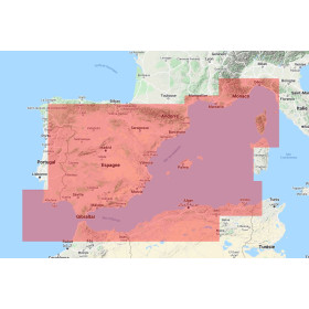
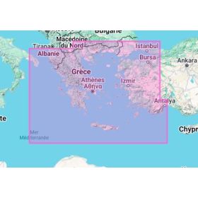
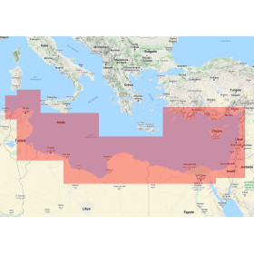
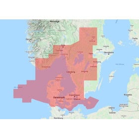
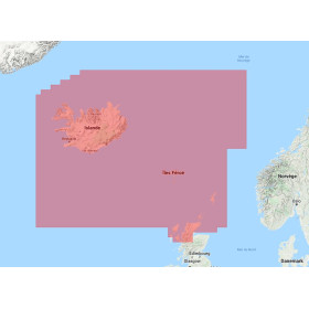
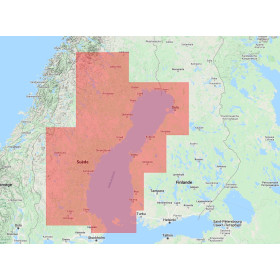
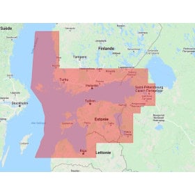
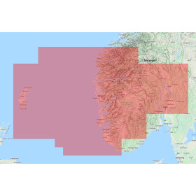
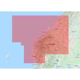
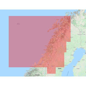
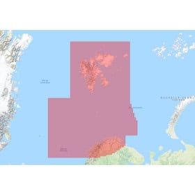
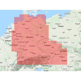
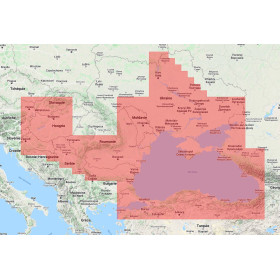
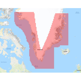
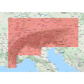
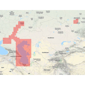
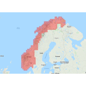
 Click here to open our interactive map and select your charts
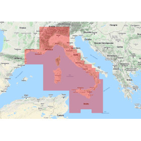
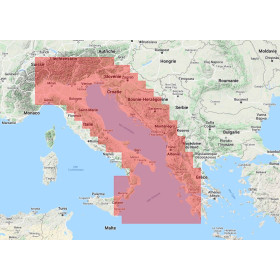
Vue carte
Vue liste
65 produits correspondent à vos critères.
Effacer
Vue carte
Vue liste
65 produits correspondent à vos critères.