

Data sheet
 100% secure payments


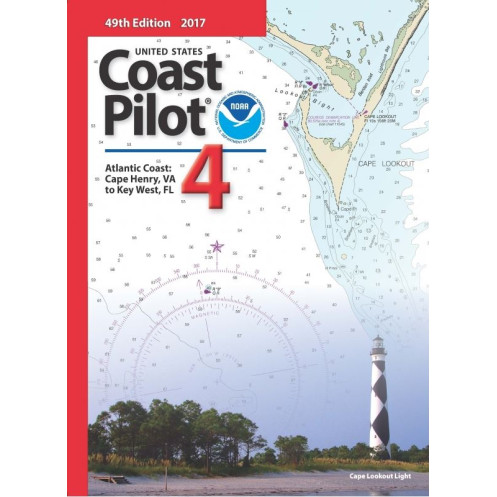
Coast Pilot 4 covers the Atlantic coast from Cape Henry, VA to Key West, FL.
The United States Coast Pilot® consists of a series of nautical books that cover a variety of information important to navigators of coastal and intracoastal waters and the Great Lakes. Issued in nine volumes, they contain supplemental information that is difficult to portray on a nautical chart.
Topics in the Coast Pilot include channel descriptions, anchorages, bridge and cable clearances, currents, tide and water levels, prominent features, pilotage, towage, weather, ice conditions, wharf descriptions, dangers, routes, traffic separation schemes, small-craft facilities, and Federal regulations applicable to navigation.