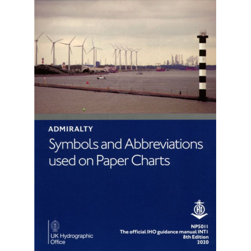
Admiralty - NP5011 - Symbols And Abbreviations used On Admiralty Paper Charts
search
  • googlemap
  • Admiralty - NP5011 - Symbols And Abbreviations used On Admiralty Paper Charts

Admiralty - NP5011 - Symbols And Abbreviations used On Admiralty Paper Charts

€48.27
Admiralty - United Kingdom Hydrographic Office
En langue anglaise
The Admiralty catalog is probably the most complete in the world.
NP5011

Data sheet

Year
2020
Author
Admiralty
Picto
En langue anglaise

Specific References

ean13
4000000100119
New
100% secure payments
Description détaillée

This convenient A4 book details Admiralty and INT paper chart symbols in full colour with information on hydrography; topography; navigational aids and services; abbreviations of principal terms shown on English and foreign charts; and general information on the content of Admiralty paper charts.

Chart 5011- Symbols and Abbreviations used on Admiralty Charts, is published in a convenient A4 booklet and features details of:

  • Admiralty and INT (from the international chart series) symbols clearly illustrated in full color
  • Hydrography - the nature and conditions of the seabed
  • Topography - natural and man-made features
  • Navigational aids and services
  • Abbreviations of principal English and foreign charts
  • General information on the content of Admiralty Charts
Loading...