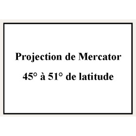
Shom - Service Hydrographique et Océanographique de la Marine €23.69 Shom - 9256NQA - Projection de Mercator 45° à... Ajouter au panier
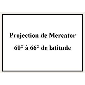
Shom - Service Hydrographique et Océanographique de la Marine €23.69 Shom - 9180NQA - Projection de Mercator 60° à... Ajouter au panier


 100% secure payments