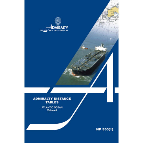
Admiralty - NP350(1) - Distance Tables, Atlantic Ocean
search
  • googlemap
  • Admiralty - NP350(1) - Distance Tables, Atlantic Ocean

Admiralty - NP350(1) - Distance Tables, Atlantic Ocean

€71.03
Admiralty - United Kingdom Hydrographic Office
En langue anglaise
The Admiralty catalog is probably the most complete in the world.
ad-NP350(1)

Data sheet

Size
version papier
Year
2011
Author
Admiralty
Picto
En langue anglaise

Specific References

ean13
4000000100089
New
100% secure payments
Description détaillée

A three part series of tables, sub-divided by region, giving the shortest distances between ports. There are supporting diagrams and text as well as link tables for places not in the same or adjacent table.

Loading...