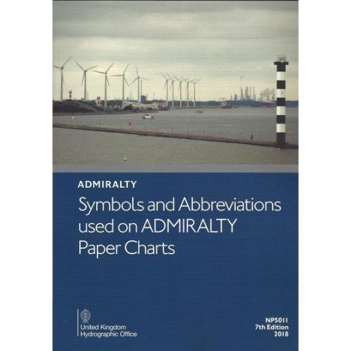
Admiralty - eNP5011 - Symbols And Abbreviations used On Admiralty Paper Charts
search
  • googlemap
  • Admiralty - eNP5011 - Symbols And Abbreviations used On Admiralty Paper Charts

Admiralty - eNP5011 - Symbols And Abbreviations used On Admiralty Paper Charts

€29.62
Tax included
Admiralty - United Kingdom Hydrographic Office
Carte ou livre en version numérique En langue anglaise
The Admiralty catalog is probably the most complete in the world.
ad-eNP5011

Data sheet

Year
2011
Author
Admiralty
Picto
Carte ou livre en version numérique
En langue anglaise
Book in version
digital version
New
100% secure payments
Description détaillée

This convenient A4 book details Admiralty and INT paper chart symbols in full colour with information on hydrography; topography; navigational aids and services; abbreviations of principal terms shown on English and foreign charts; and general information on the content of Admiralty paper charts.

Chart 5011- Symbols and Abbreviations used on Admiralty Charts, is published in a convenient A4 booklet and features details of:

  • Admiralty and INT (from the international chart series) symbols clearly illustrated in full color
  • Hydrography - the nature and conditions of the seabed
  • Topography - natural and man-made features
  • Navigational aids and services
  • Abbreviations of principal English and foreign charts
  • General information on the content of Admiralty Charts
Loading...