Data sheet
Specific References
 100% secure payments


You might also like

Black Lion, prépare sont entrée aux Bahamas grâce au guide Waterway Guide Bahamas commandé sur Nautic Way.
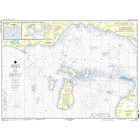
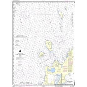
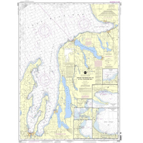
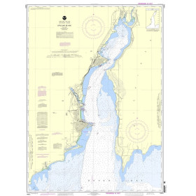
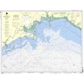
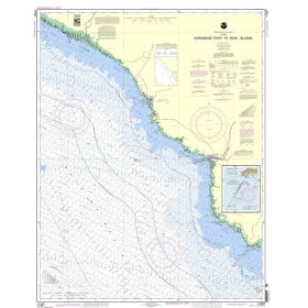
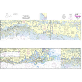
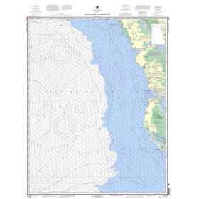
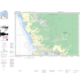
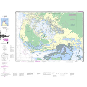
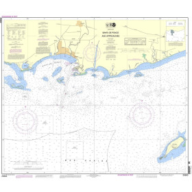
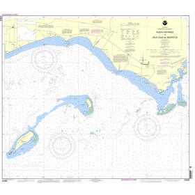
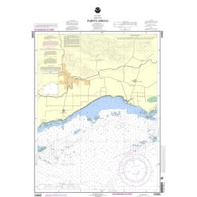
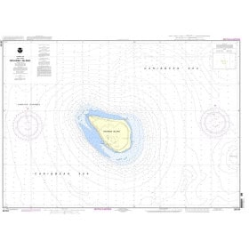
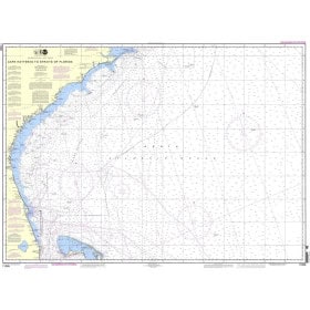
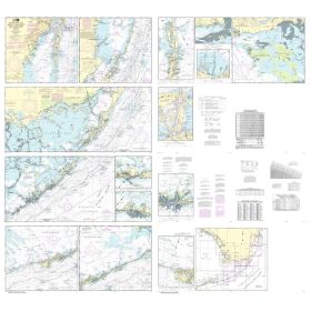
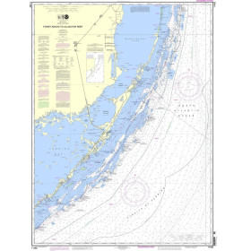
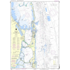
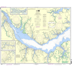
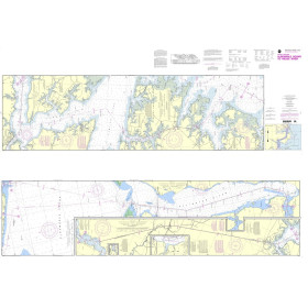
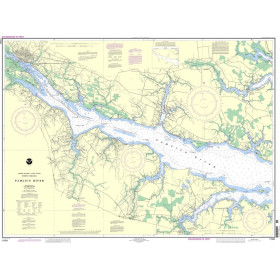
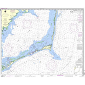
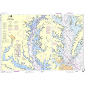
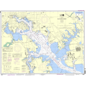
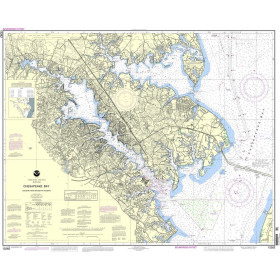
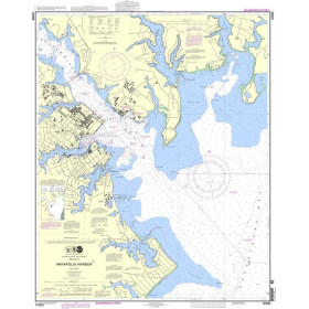
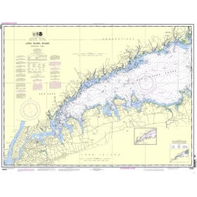
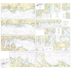
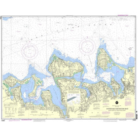
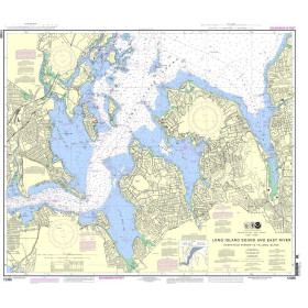
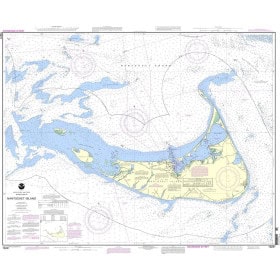
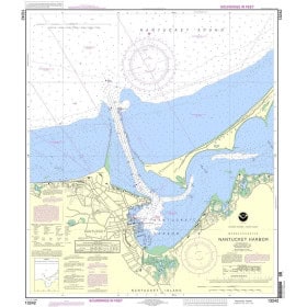
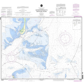
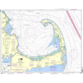
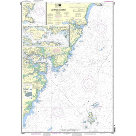
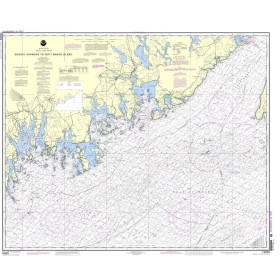
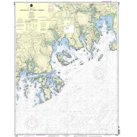
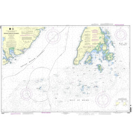
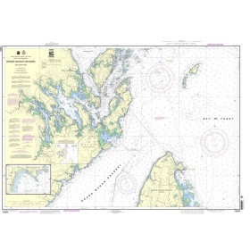
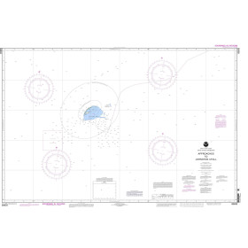
Updated annually, the Waterway Guide Bahamas edition is the indispensable cruising companion for boaters exploring the Bahamas Islands and the Turks and Caicos Islands.
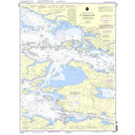
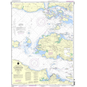
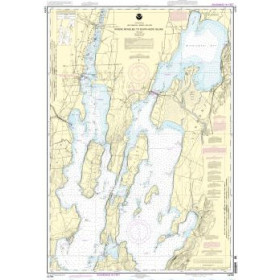
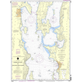
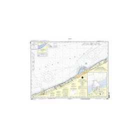
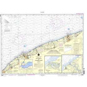
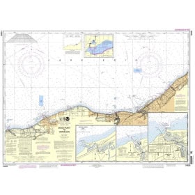
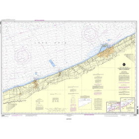
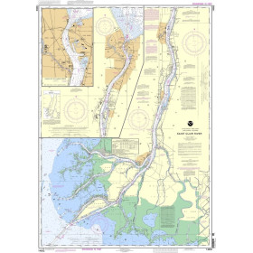
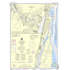
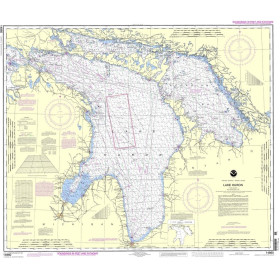
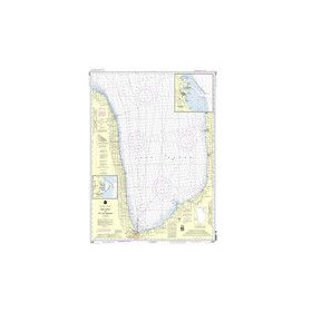
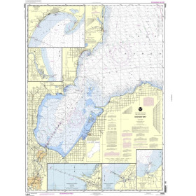
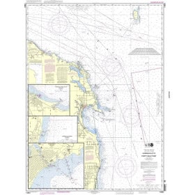
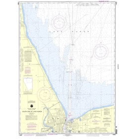
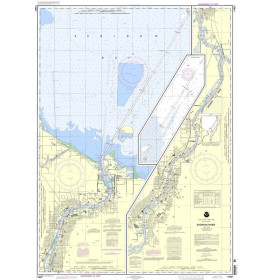
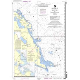
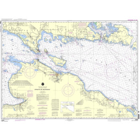
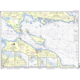
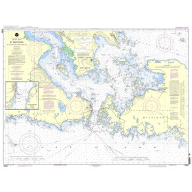
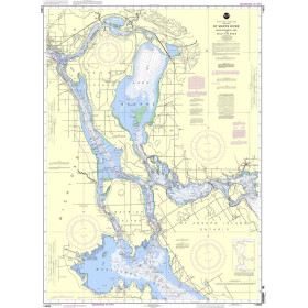
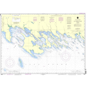
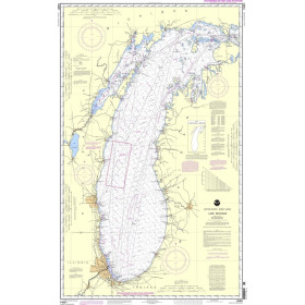
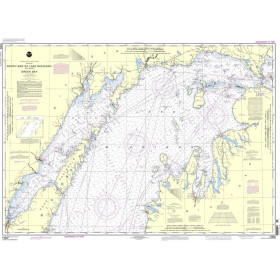
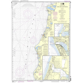
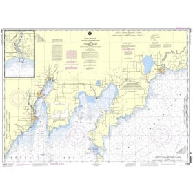
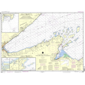
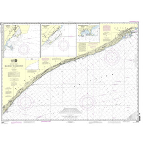
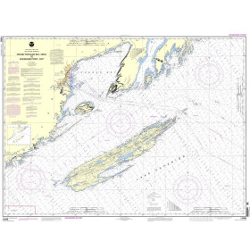
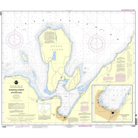
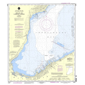
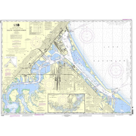
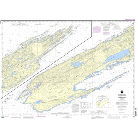
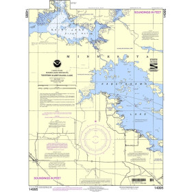
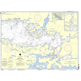
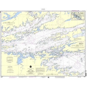
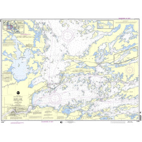
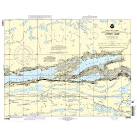
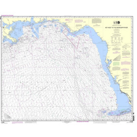
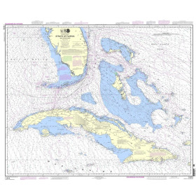
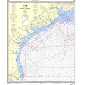
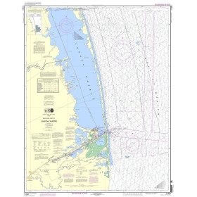
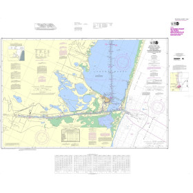
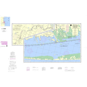
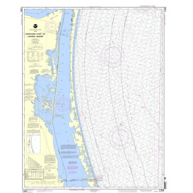
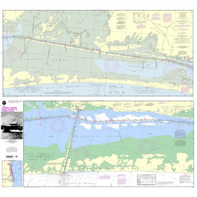
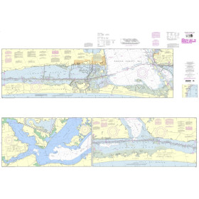
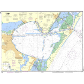
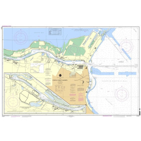
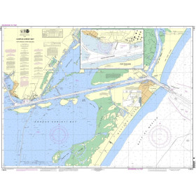
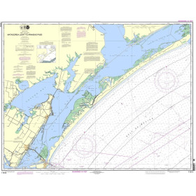
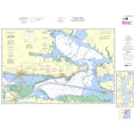
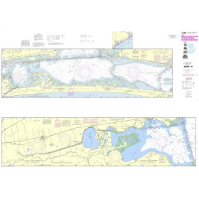
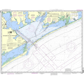
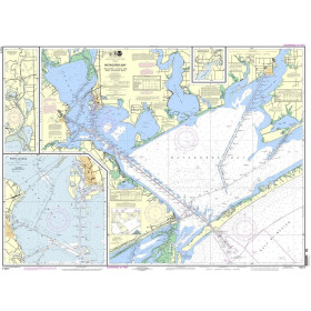
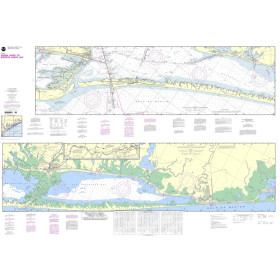
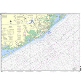
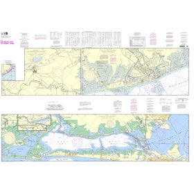
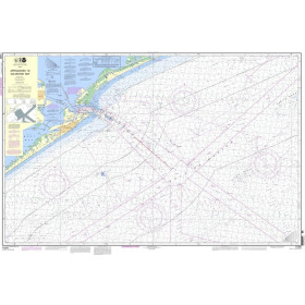
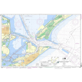
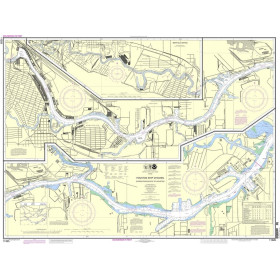
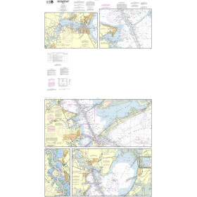
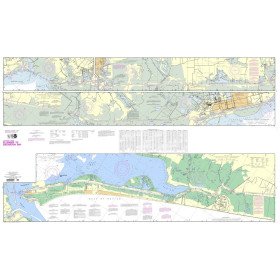
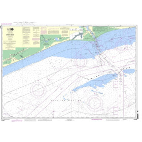
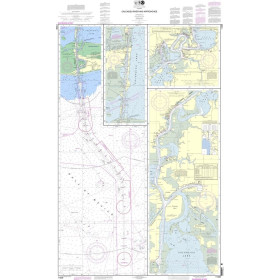
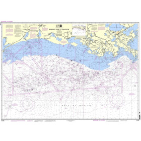
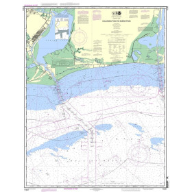
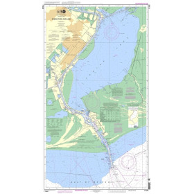
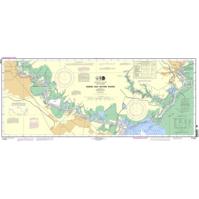
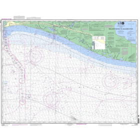
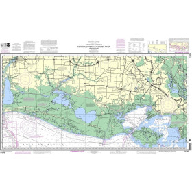
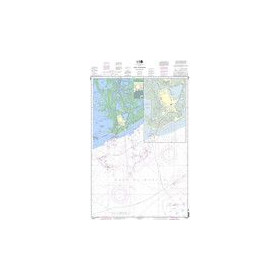
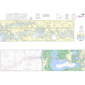
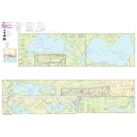
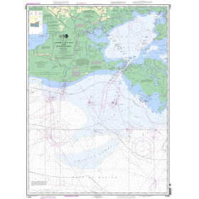
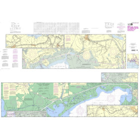
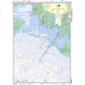
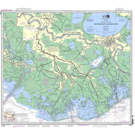
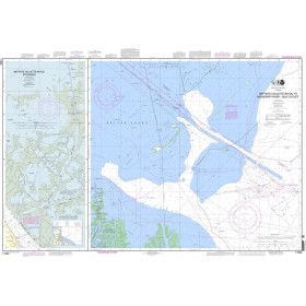
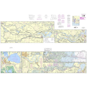
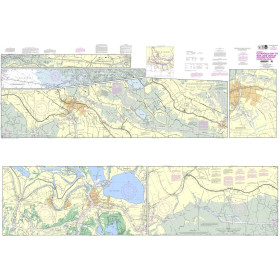
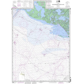
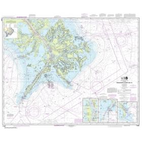
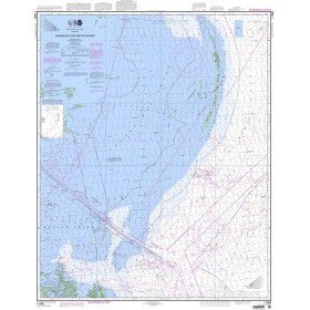
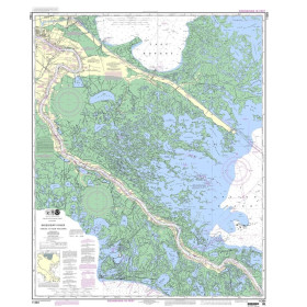
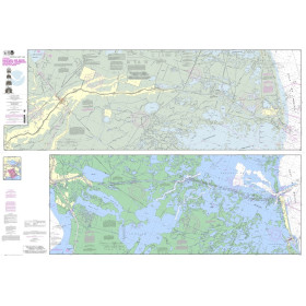
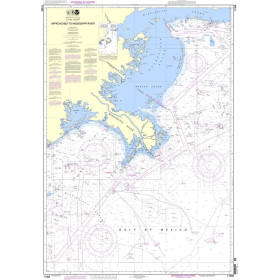
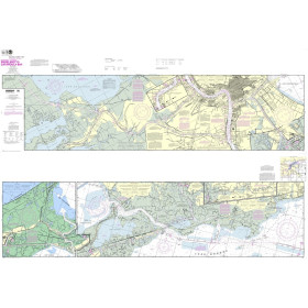
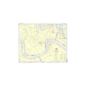
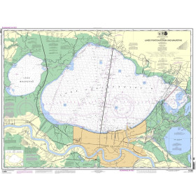
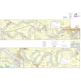
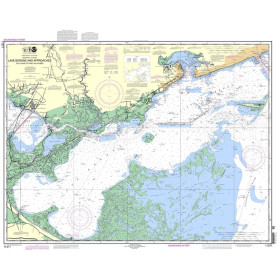
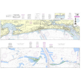
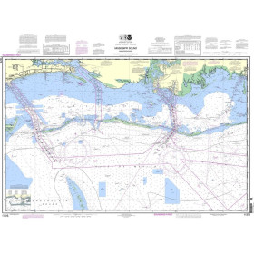
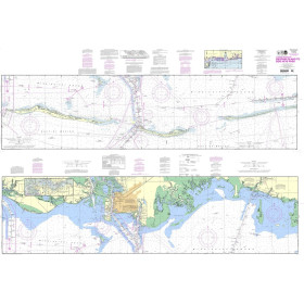
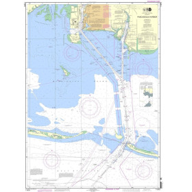
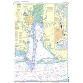
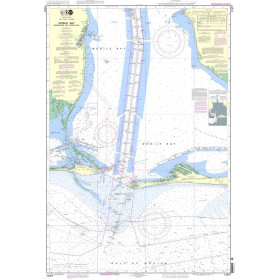
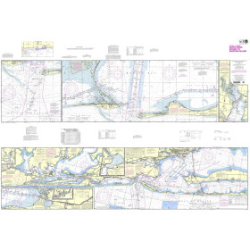
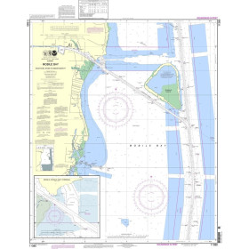
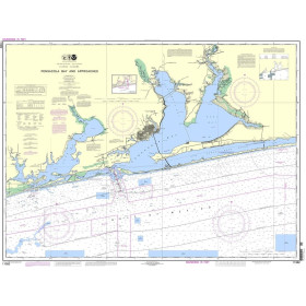
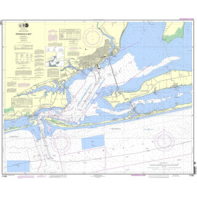
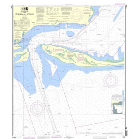
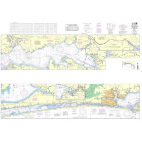
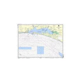
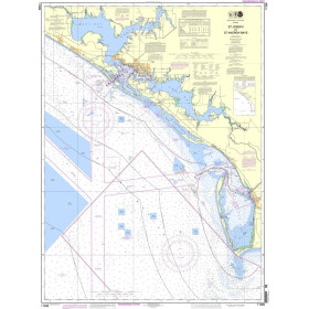
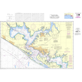
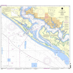
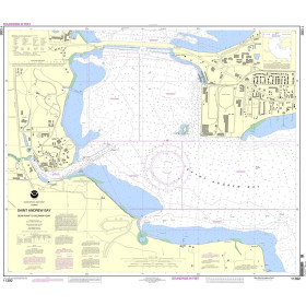
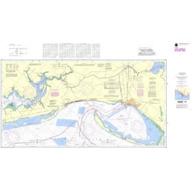
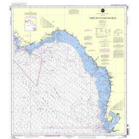
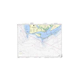
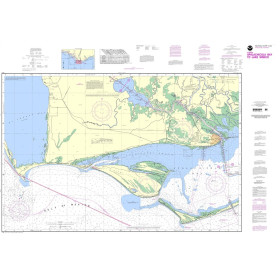
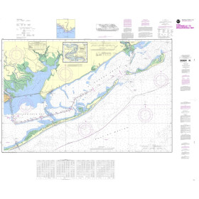
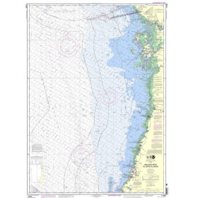
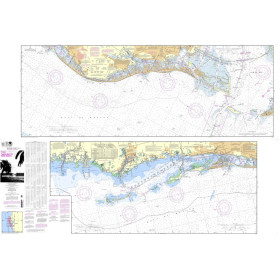
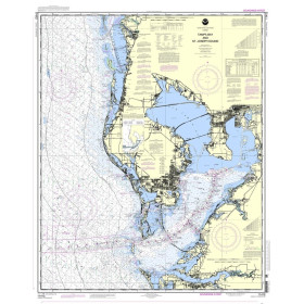
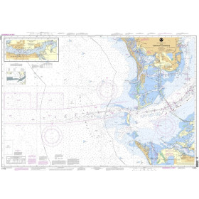
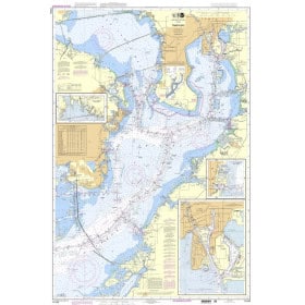
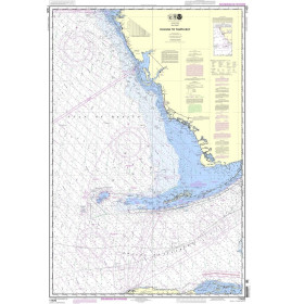
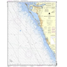
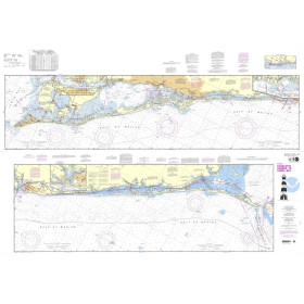
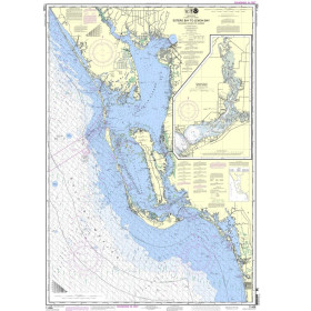
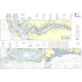
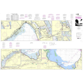
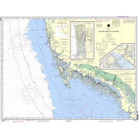
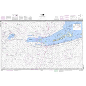
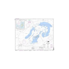
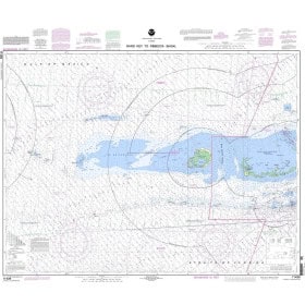
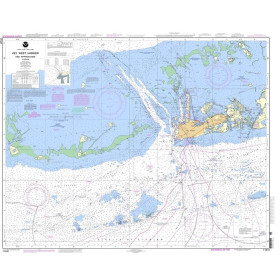
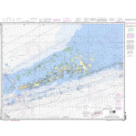
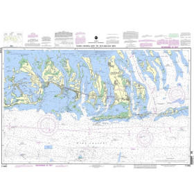
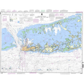
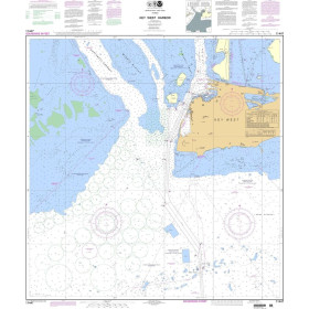
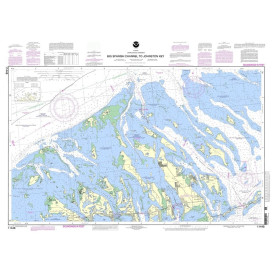
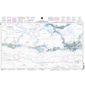
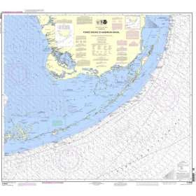
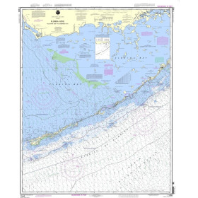
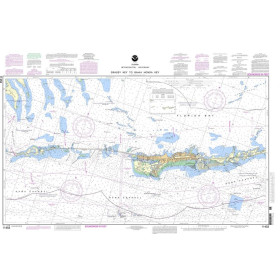
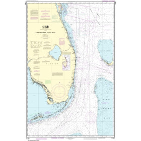
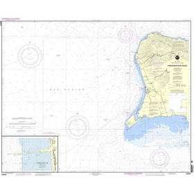
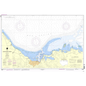
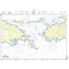
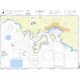
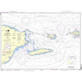
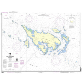
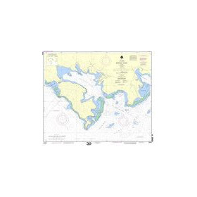
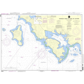
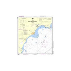
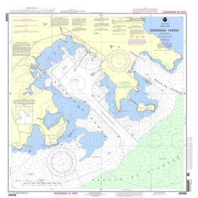
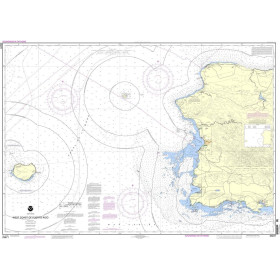
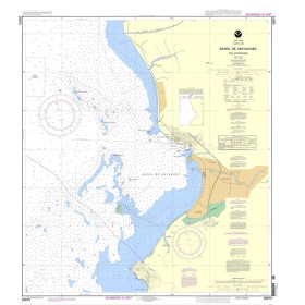
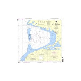
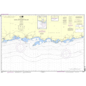
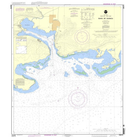
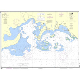
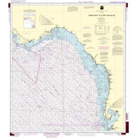
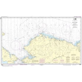
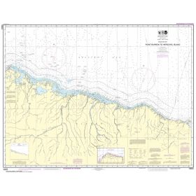
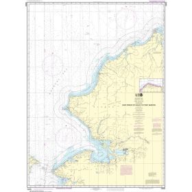
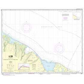
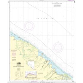
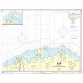
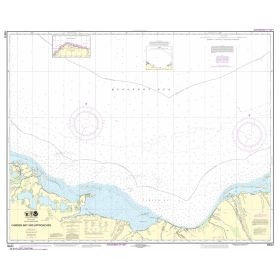
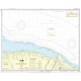
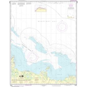
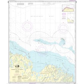
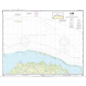
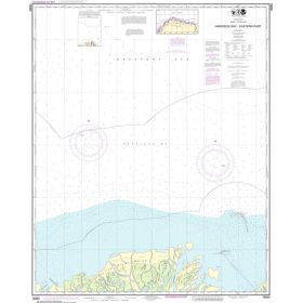
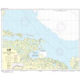
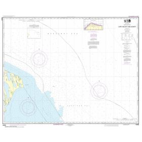
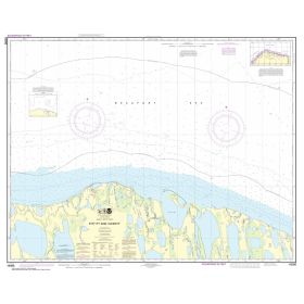
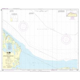
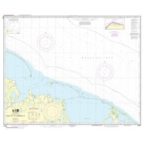
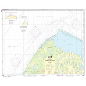
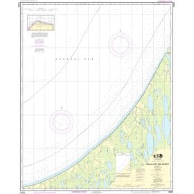
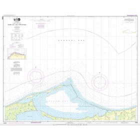
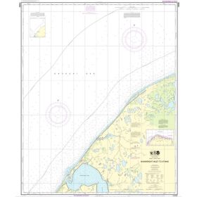
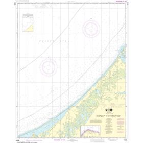
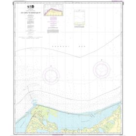
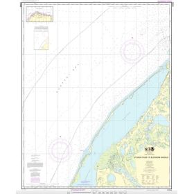
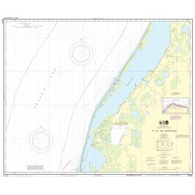
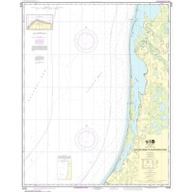
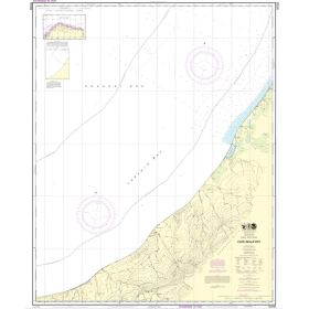
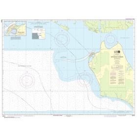
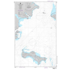
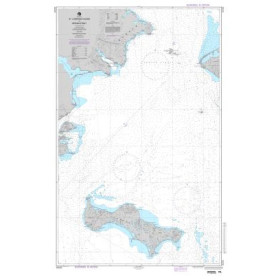
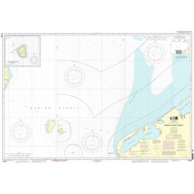
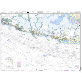
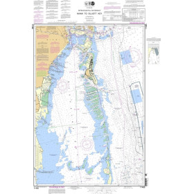
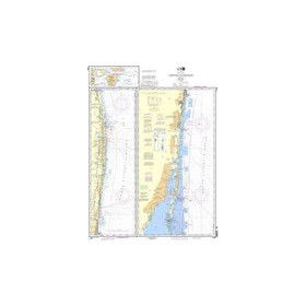
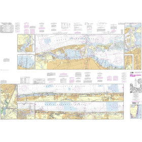
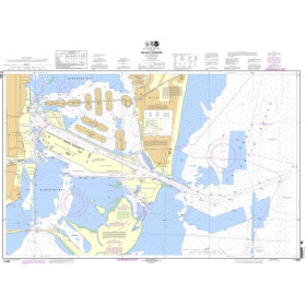
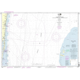
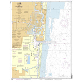
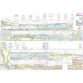
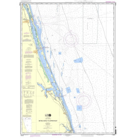
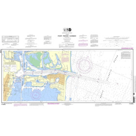
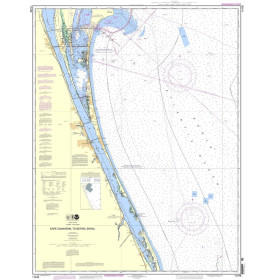
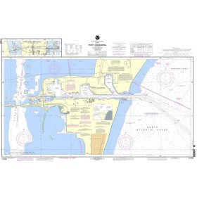
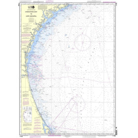
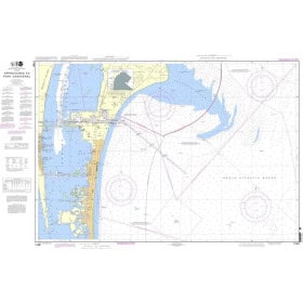
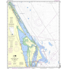
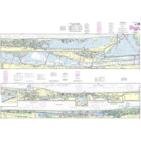
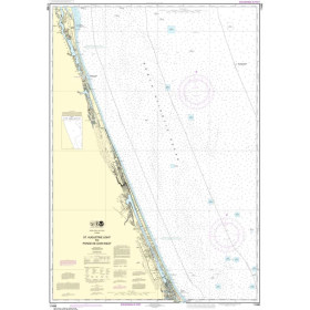
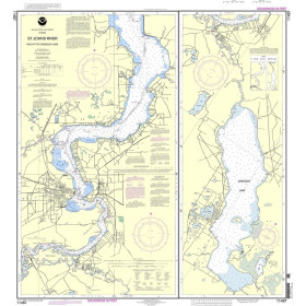
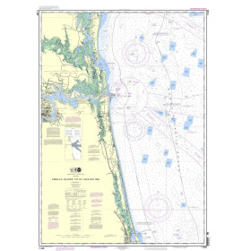
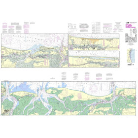
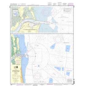
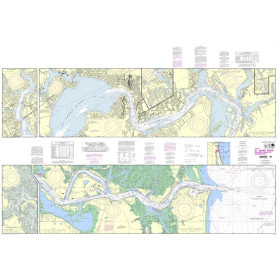
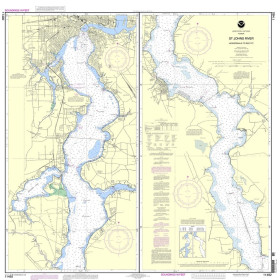
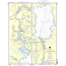
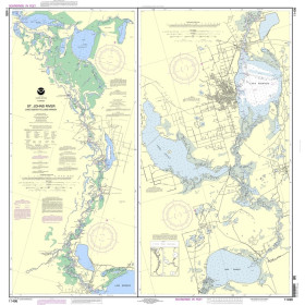
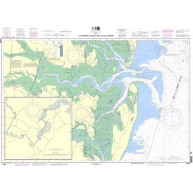
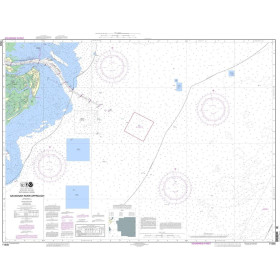
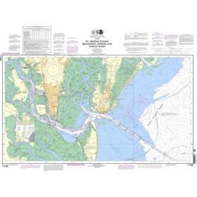
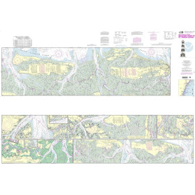
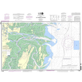
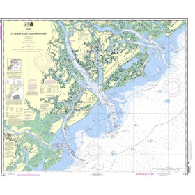
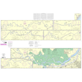
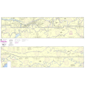
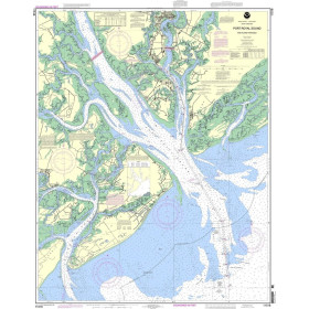
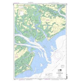
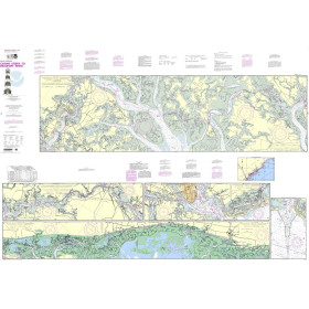
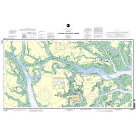
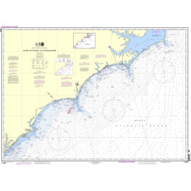
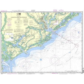
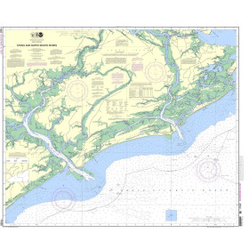
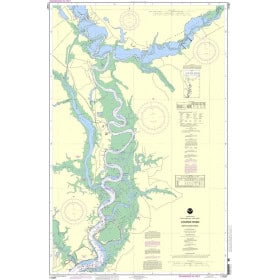
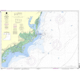
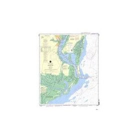
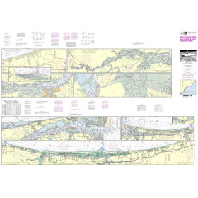
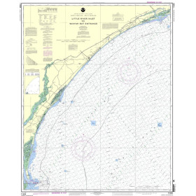
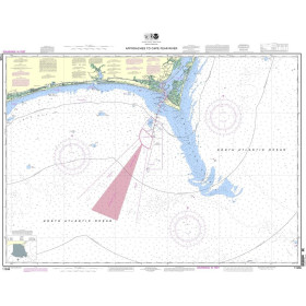
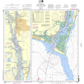
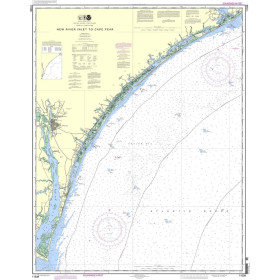
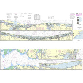
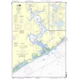
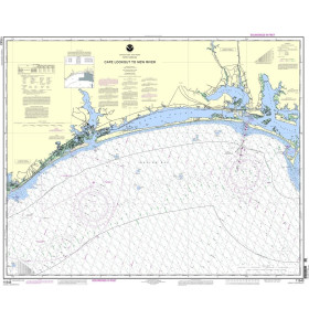
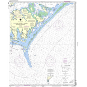
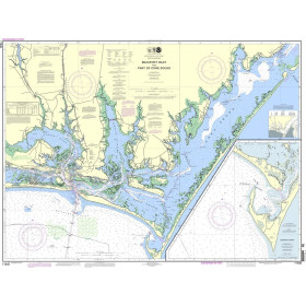
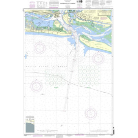
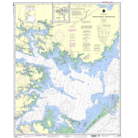
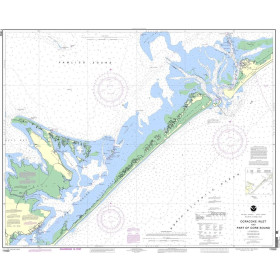
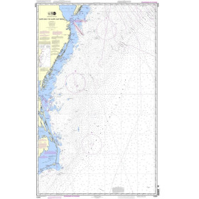
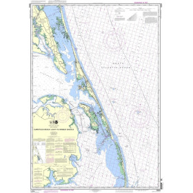
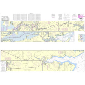
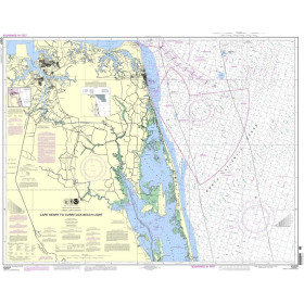
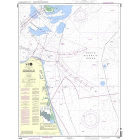
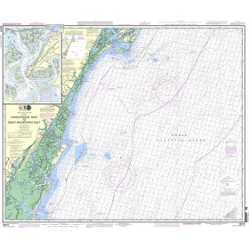
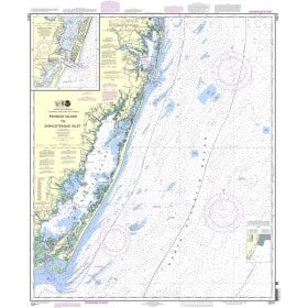
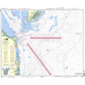
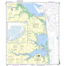
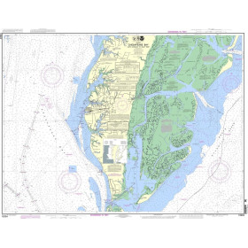
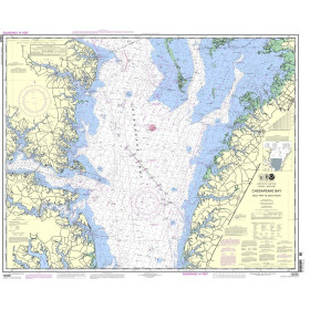
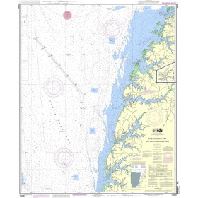
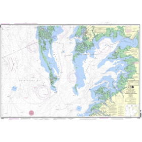
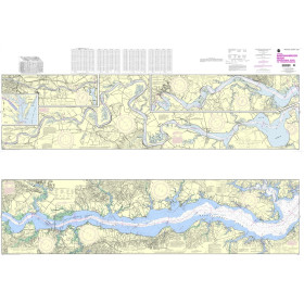
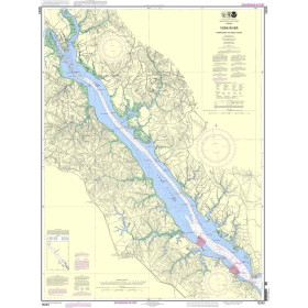
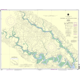
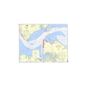
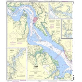
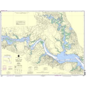
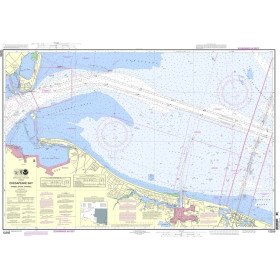
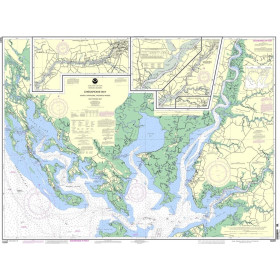
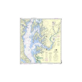
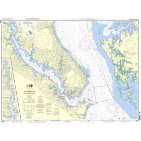
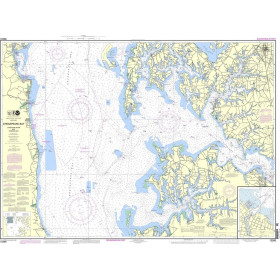
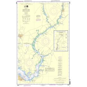
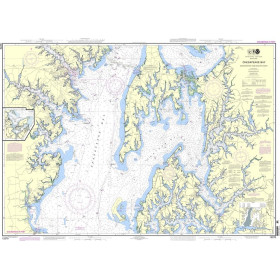
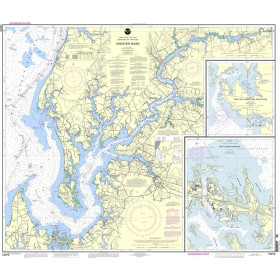
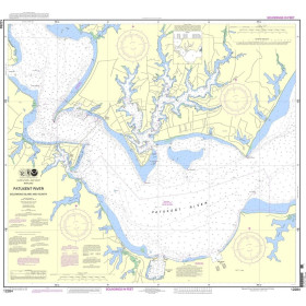
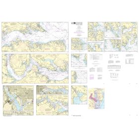
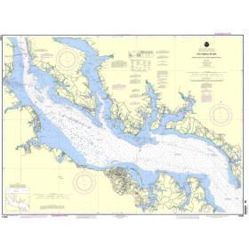
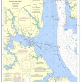
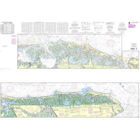
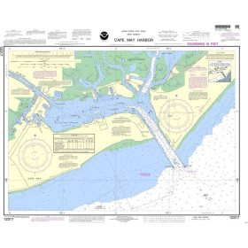
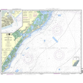
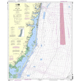
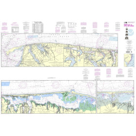
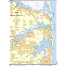
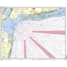
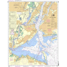
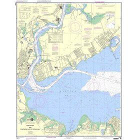
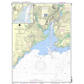
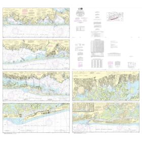
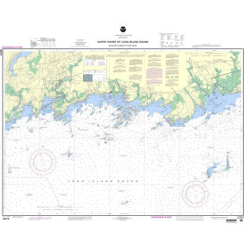
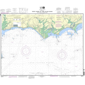
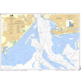
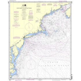
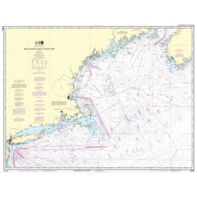
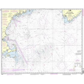
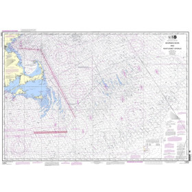
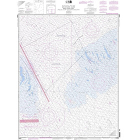
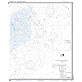
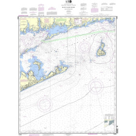
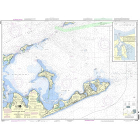
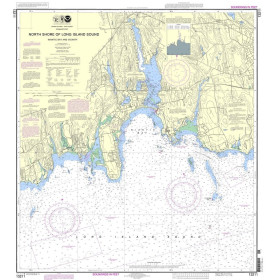
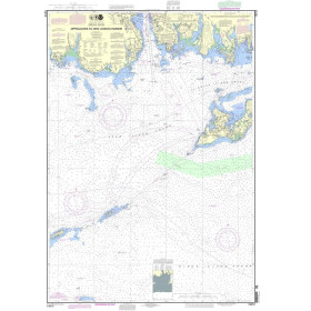
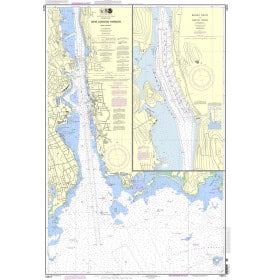
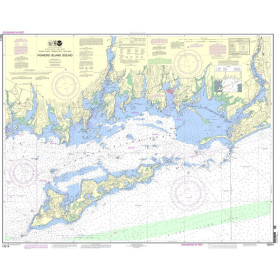
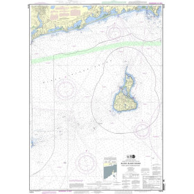
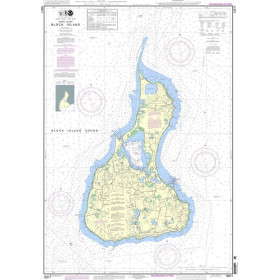
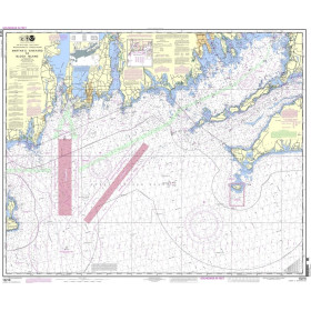
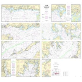
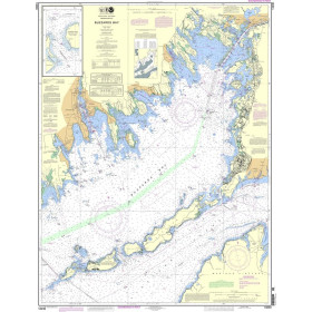
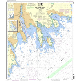
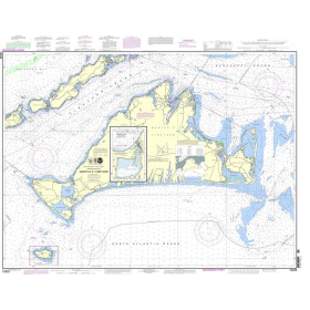
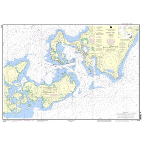
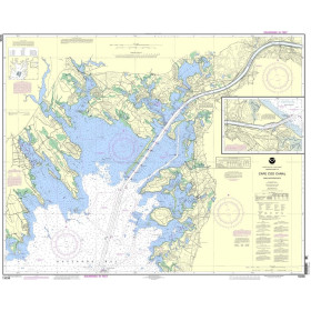
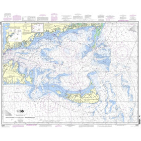
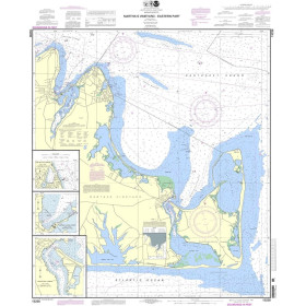
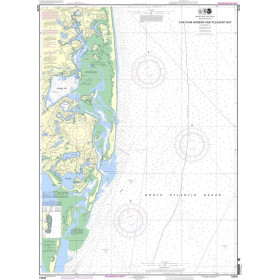
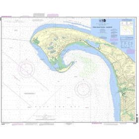
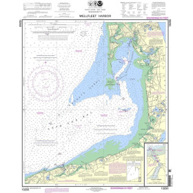
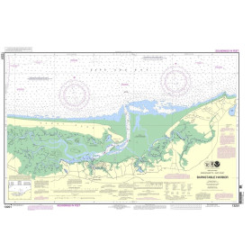
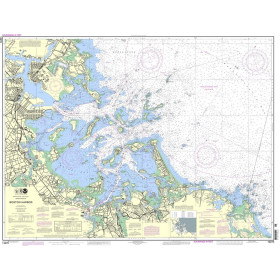
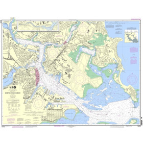
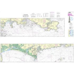
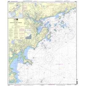
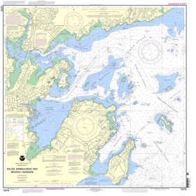
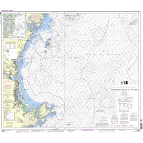
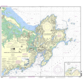
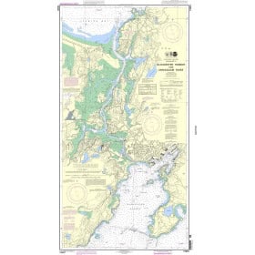
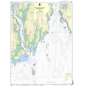
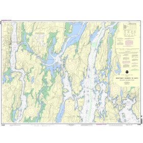
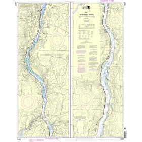
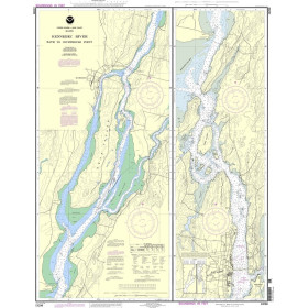
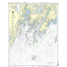
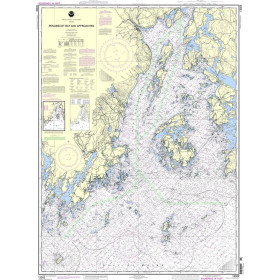
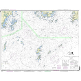
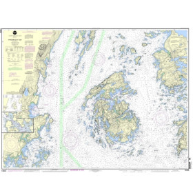
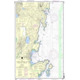
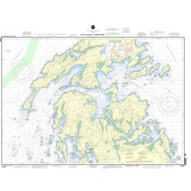
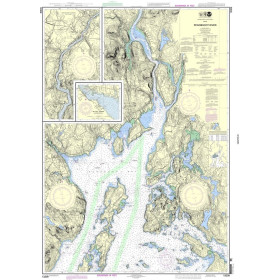
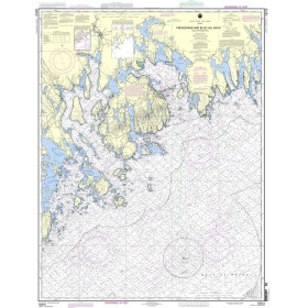
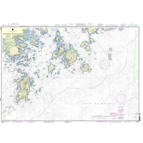
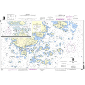
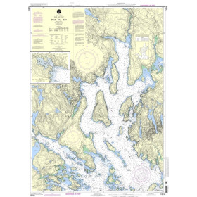
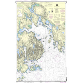
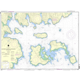
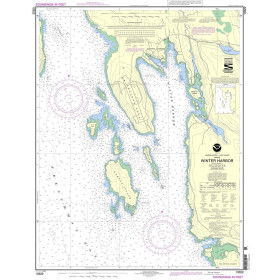
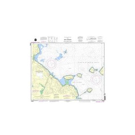
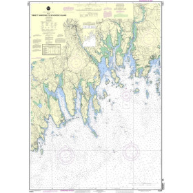
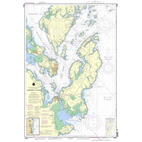
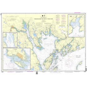
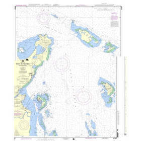
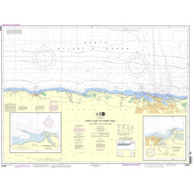
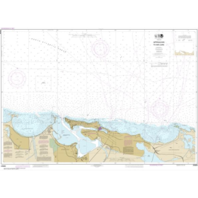
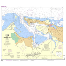
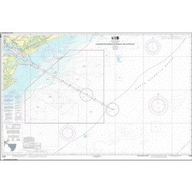
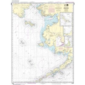
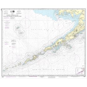
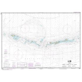
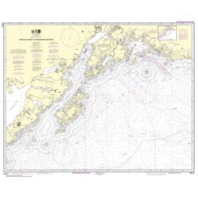
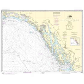
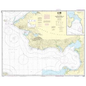
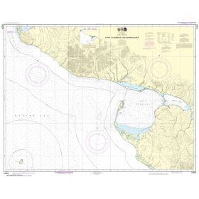
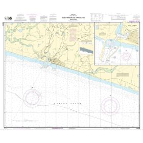
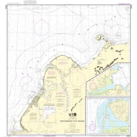
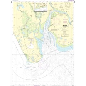
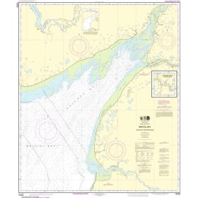
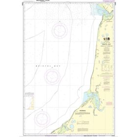
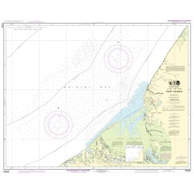
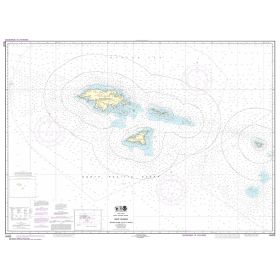
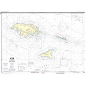
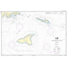
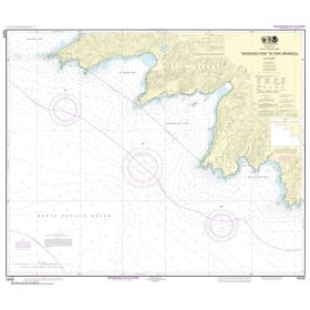
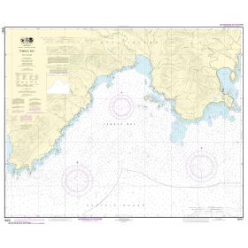
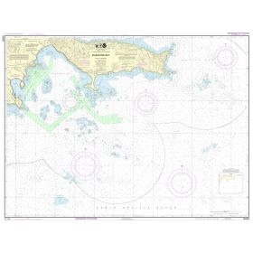
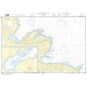
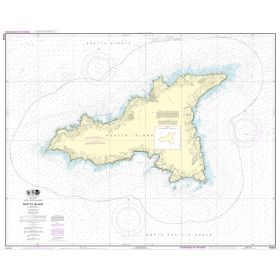
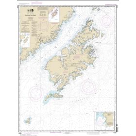
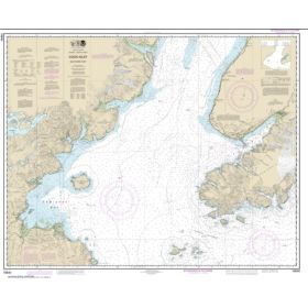
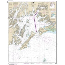
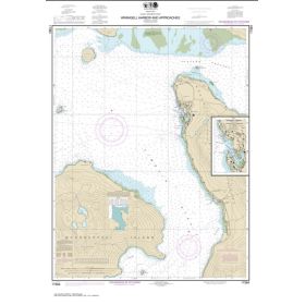
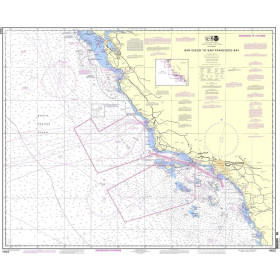
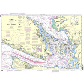
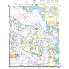
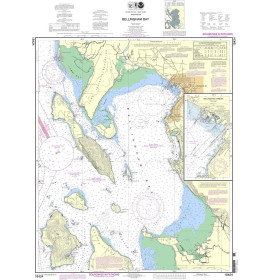
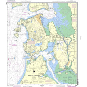
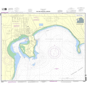
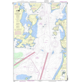
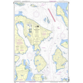
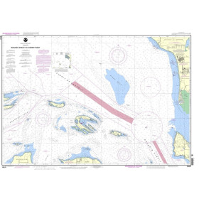
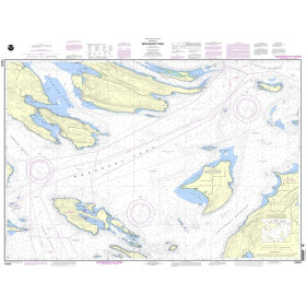
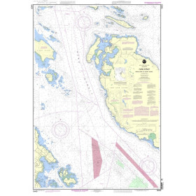
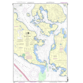
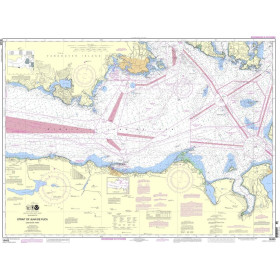
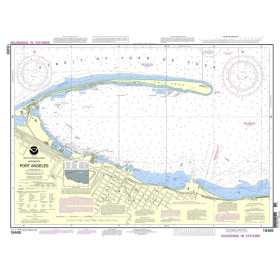
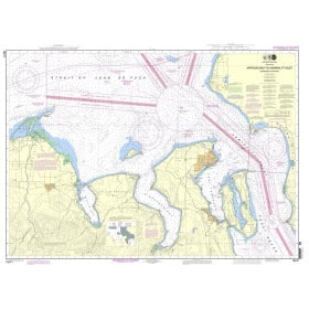
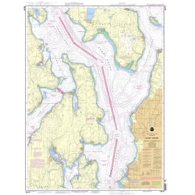
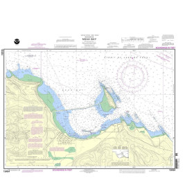
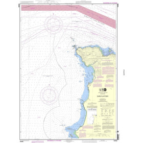
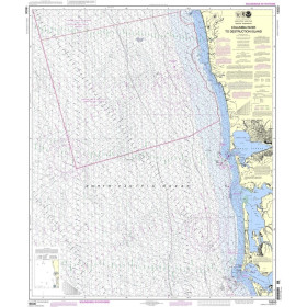
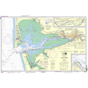
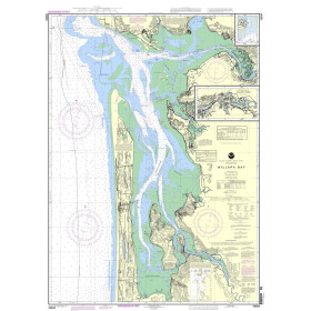
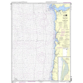
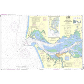
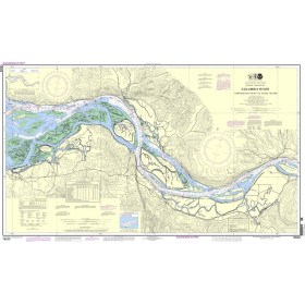
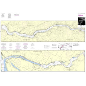
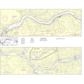
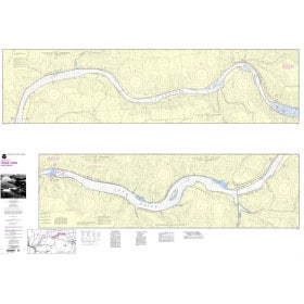
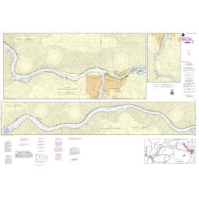
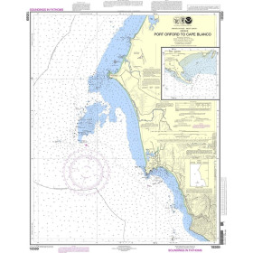
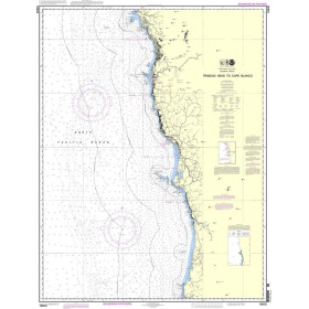
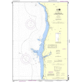
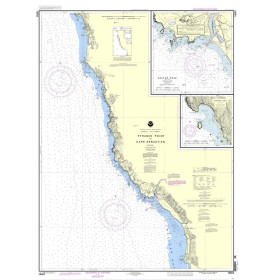
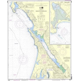
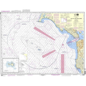
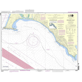
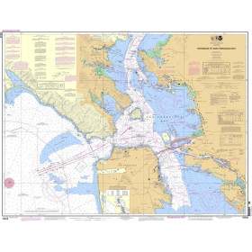
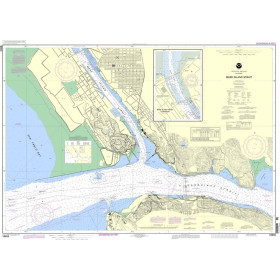
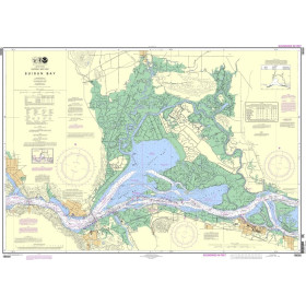
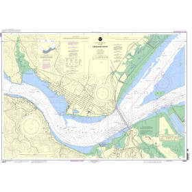
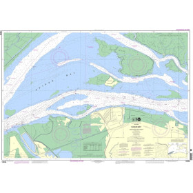
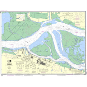
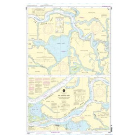
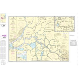
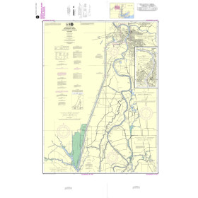
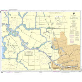
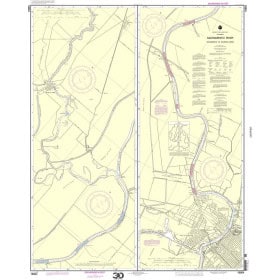
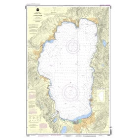
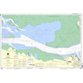
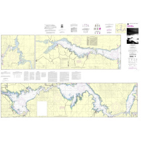
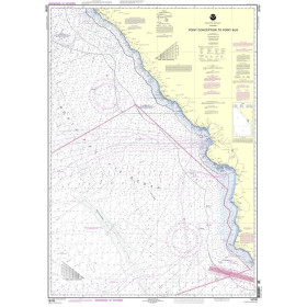
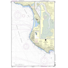
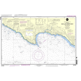
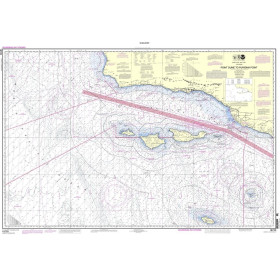
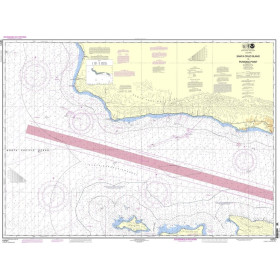
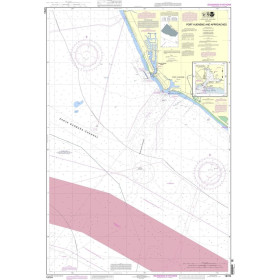
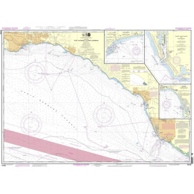
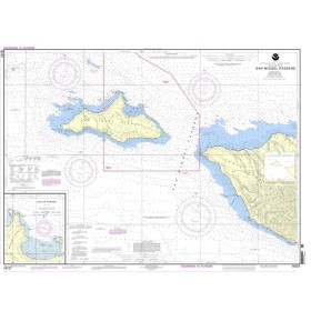
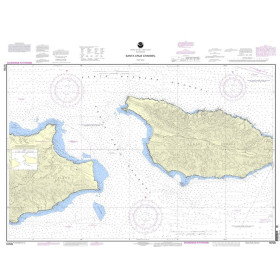
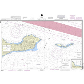
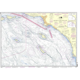
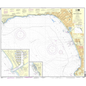
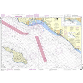
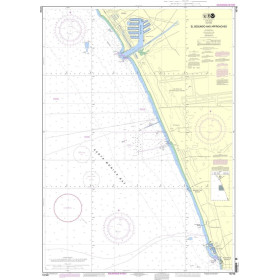
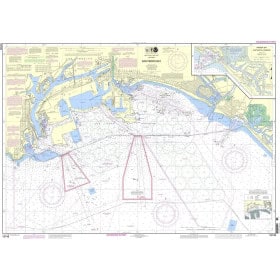
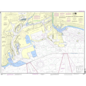
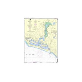
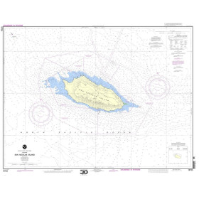
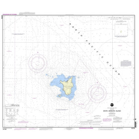
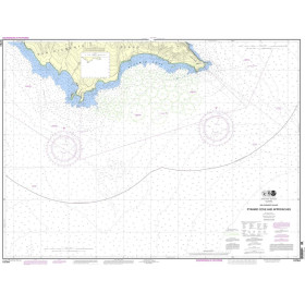
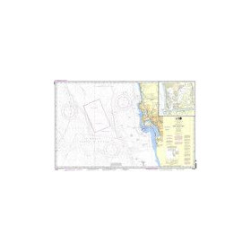
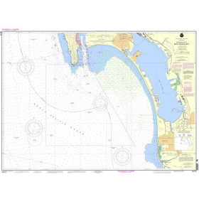
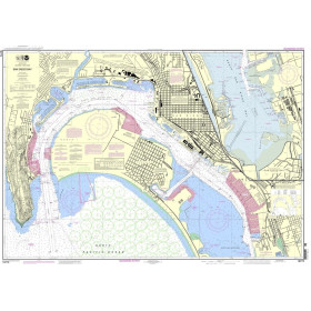
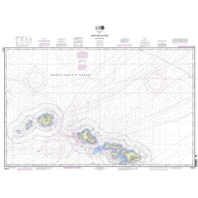
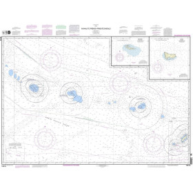
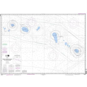
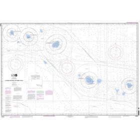
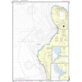
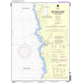
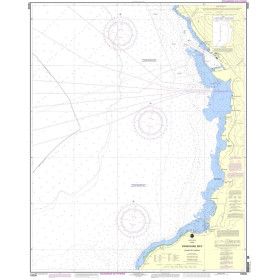
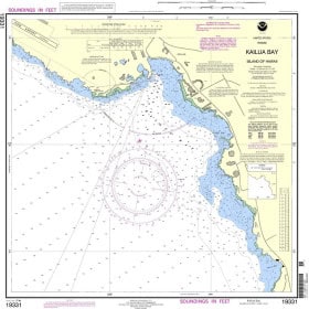
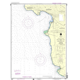
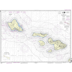
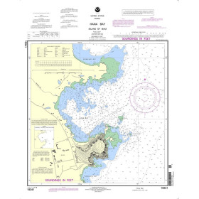
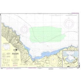
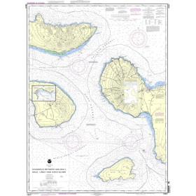
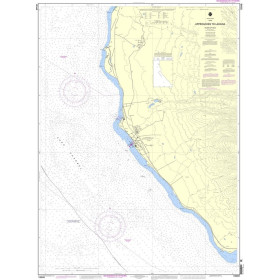
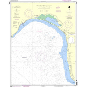
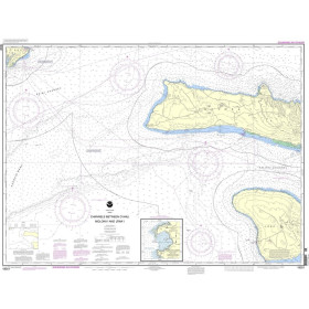
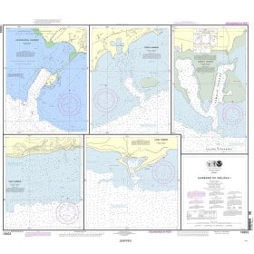
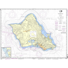
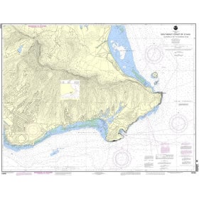
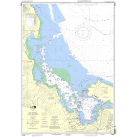
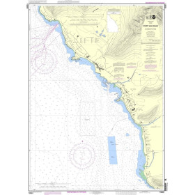
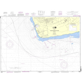
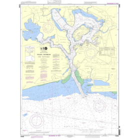
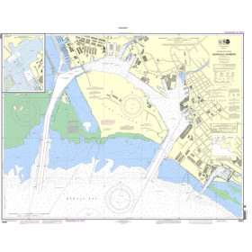
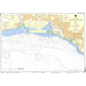
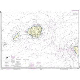
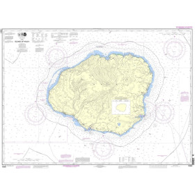
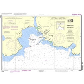
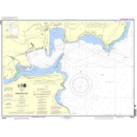
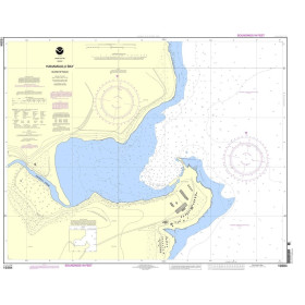
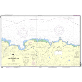
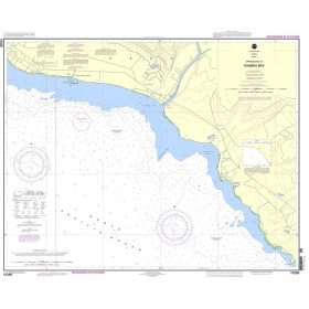
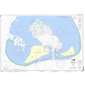
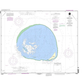
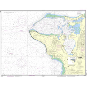
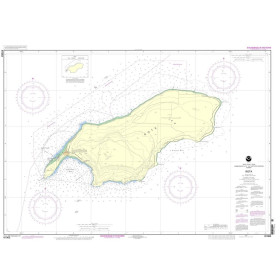
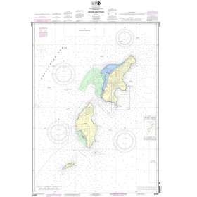
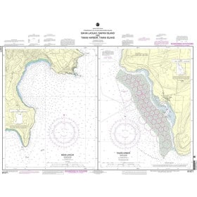
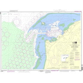
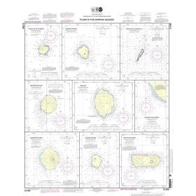
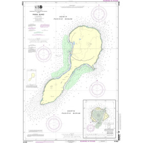
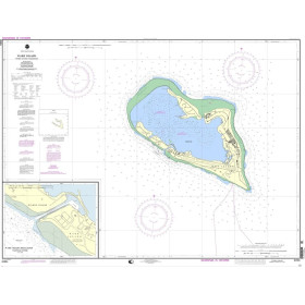
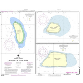
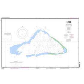
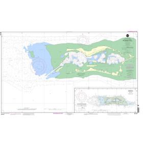
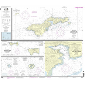
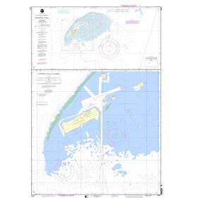
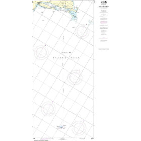
The guide features mile-by-mile navigation information, aerial photography with marked routes, marina listings and locator charts, anchorage information and expanded Goin' Ashores articles on ports along the way. Helpful cruising data like GPS waypoints, detailed planning maps and distance tables help get boaters there safely. Heavy laminated covers with bookmarker flaps ensure durability and easy use in the cockpit and at the helm.
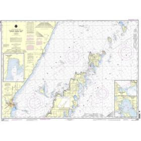
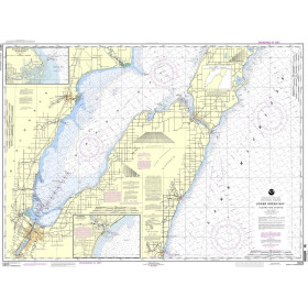
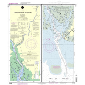
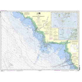
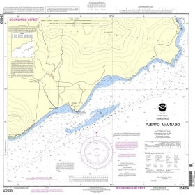
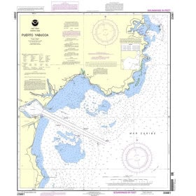
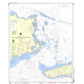
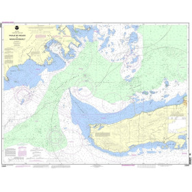
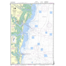
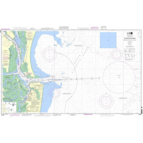
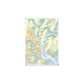
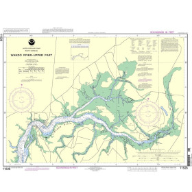
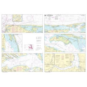
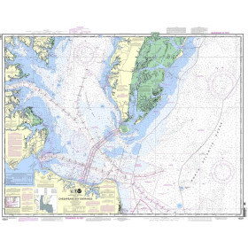
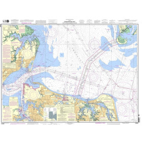
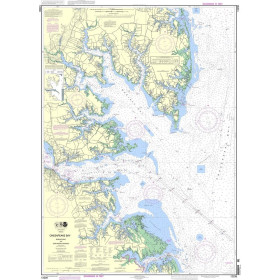
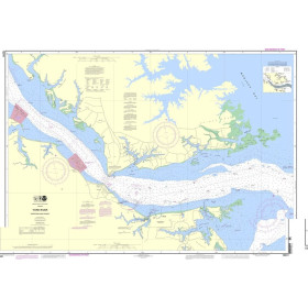
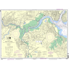
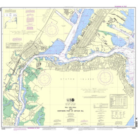
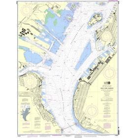
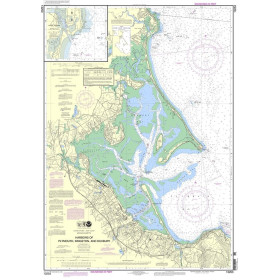
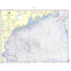
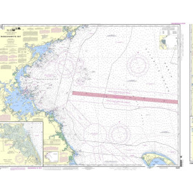
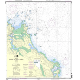
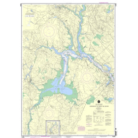
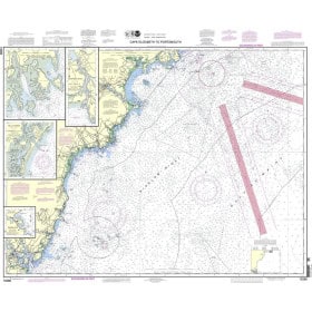
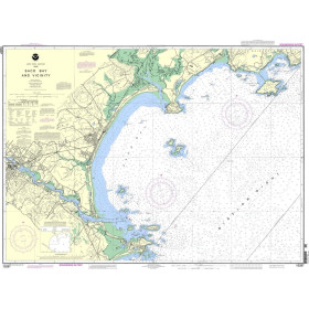
Working with Waterway Guide Media, Explorer Chartbooks created a series of chartlets that offer situational awareness and complement navigation advice and associated information in Waterway Guide's book. Each chart extract is labeled with a cross reference number to the master chart in the Explorer Chartbooks library. Trip planning and navigation in the Bahamas is now more reliable than ever using Waterway Guide's book, Explorer Chartbooks' charts, and the Aqua Map mobile app with Explorer ENCs and Waterway Guide data embedded.
Spiral Cover, 8.5 x 10.5, 420pp
Part Number: PIL1050
Edition: 2022
ISBN: 9781737551744
Publisher: Waterway Guide
Manufacturer: No
Author: Waterway Guide Media
Format: Spiralbound