Data sheet
Specific References
 100% secure payments


You might also like

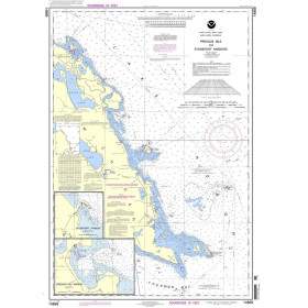
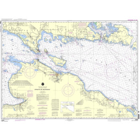
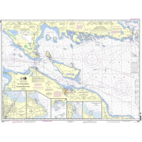
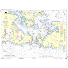
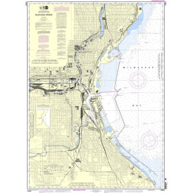
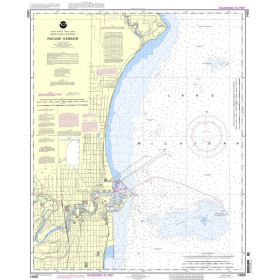
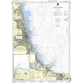
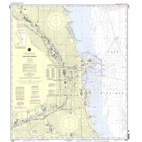
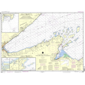
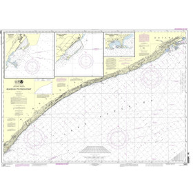
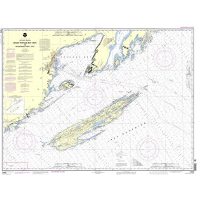
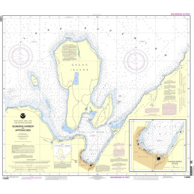
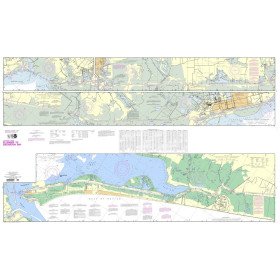
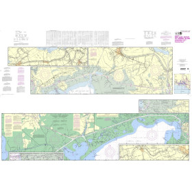
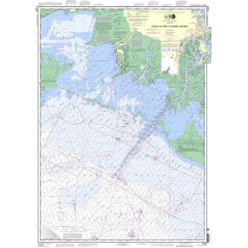
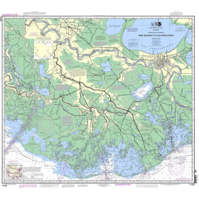
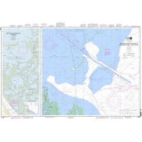
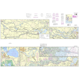
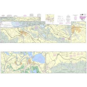
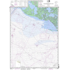
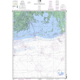
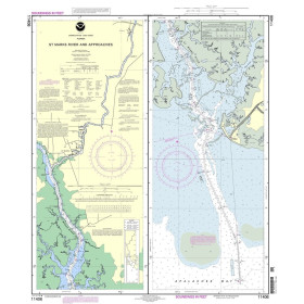
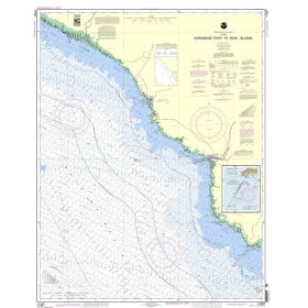
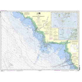
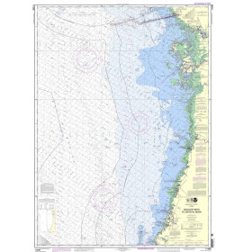
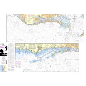
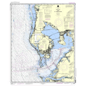
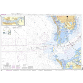
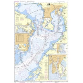
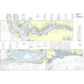
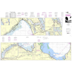
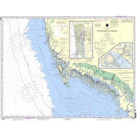
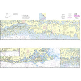
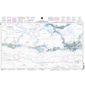
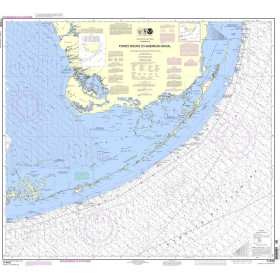
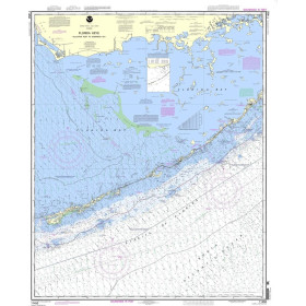
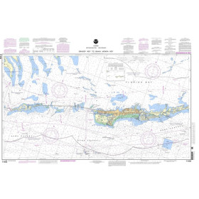
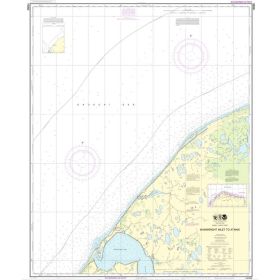
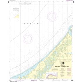
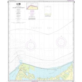
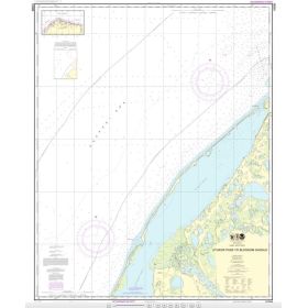
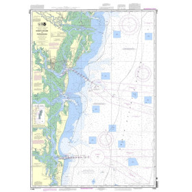
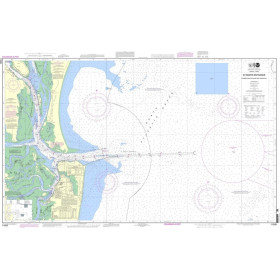
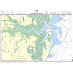
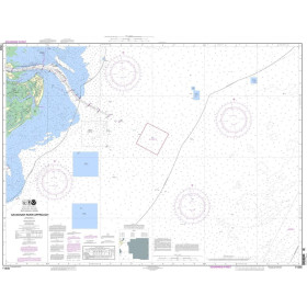
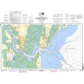
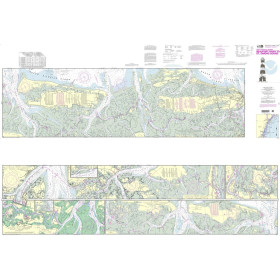
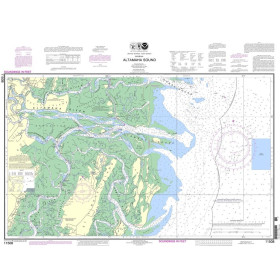
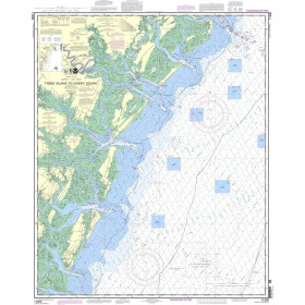
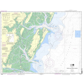
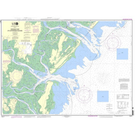
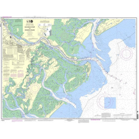
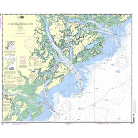
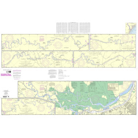
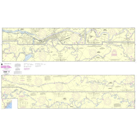
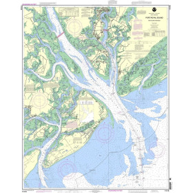
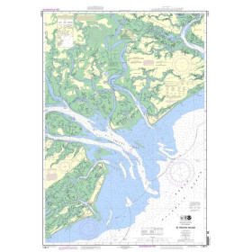
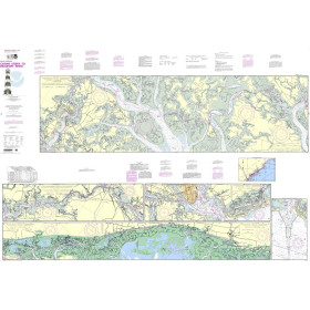
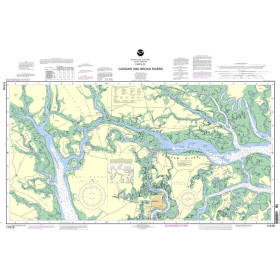
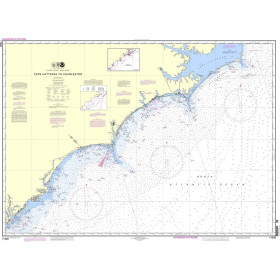
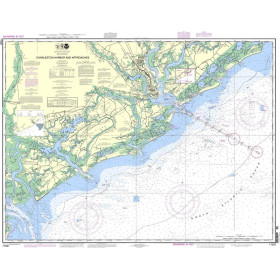
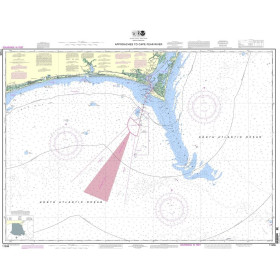
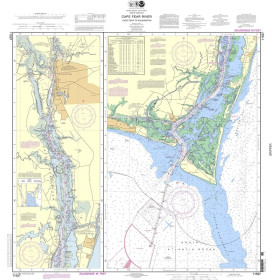
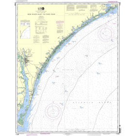
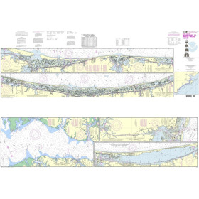
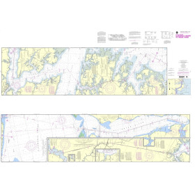
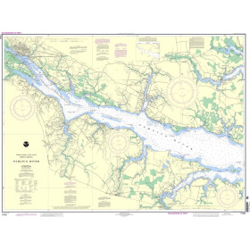
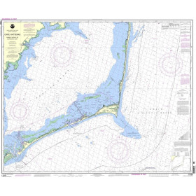
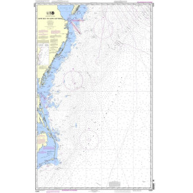
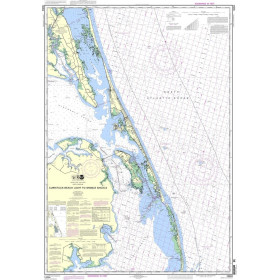
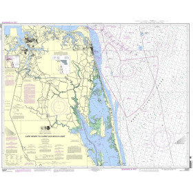
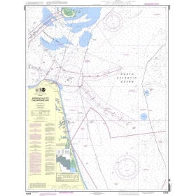
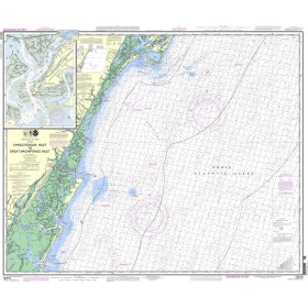
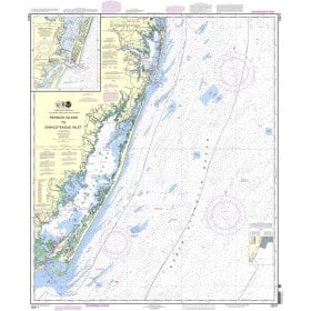
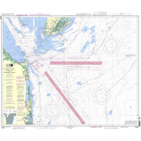
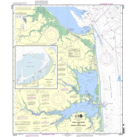
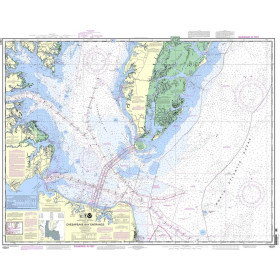
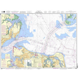
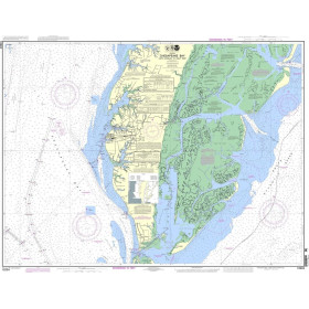
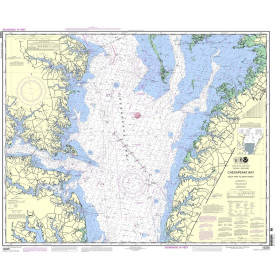
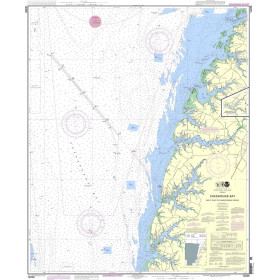
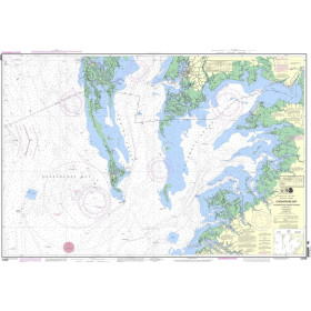
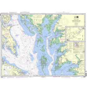
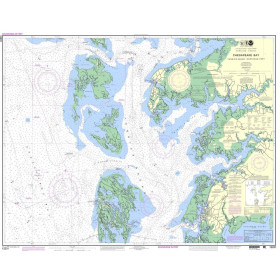
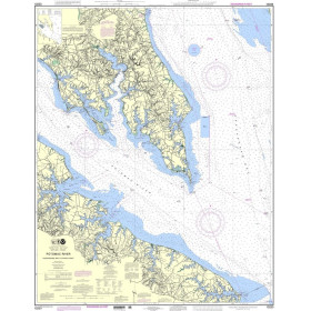
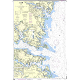
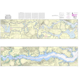
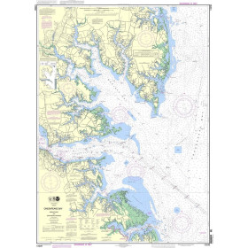
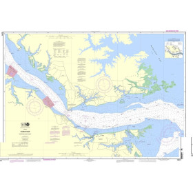
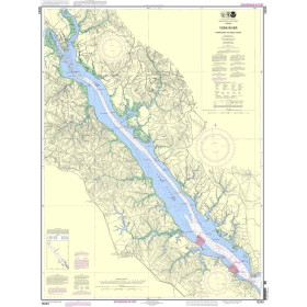
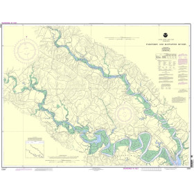
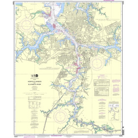
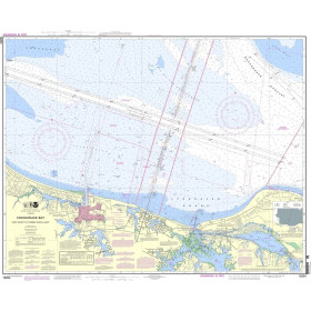
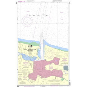
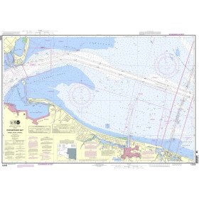
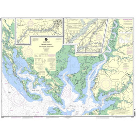
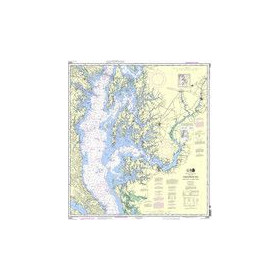
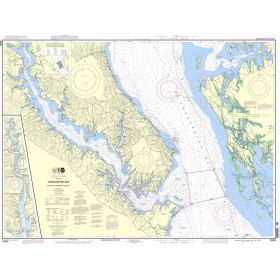
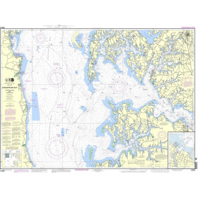
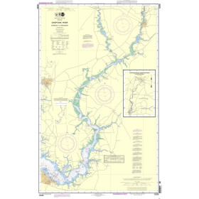
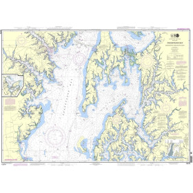
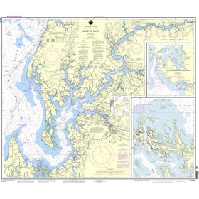
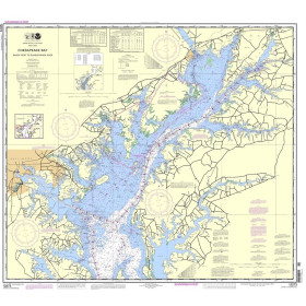
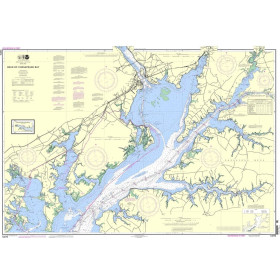
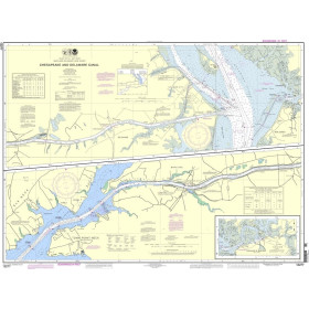
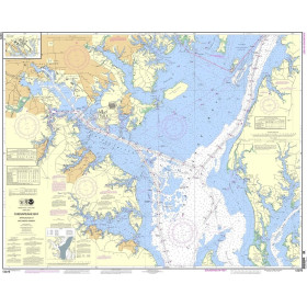
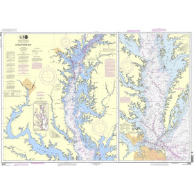
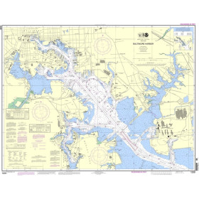
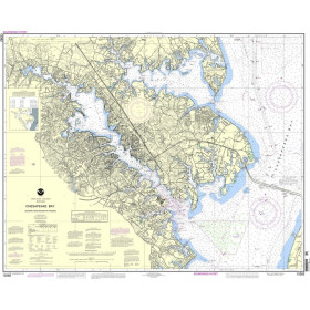
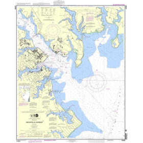
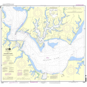
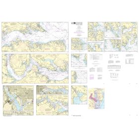
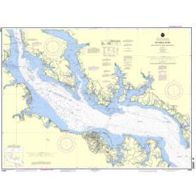
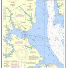
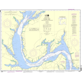
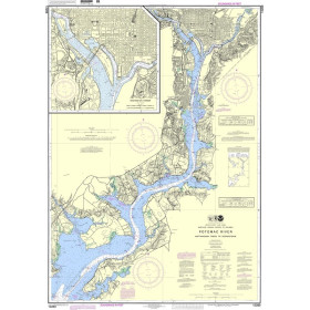
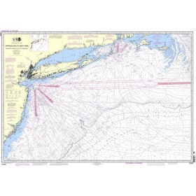
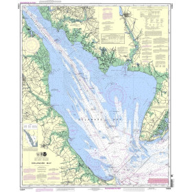
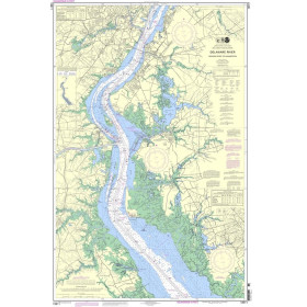
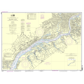
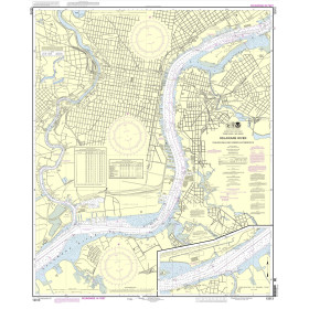
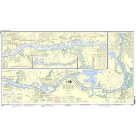
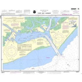
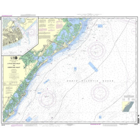
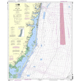
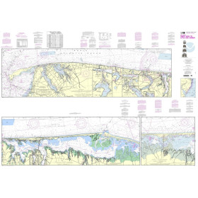
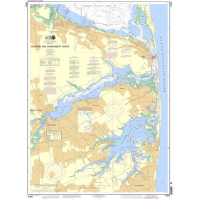
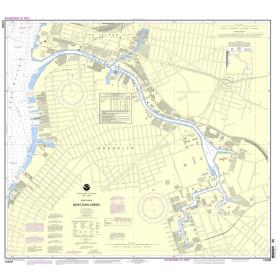
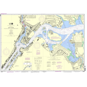
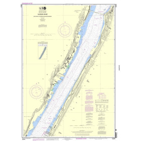
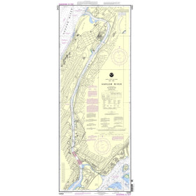
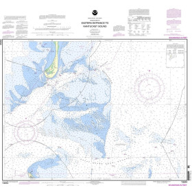
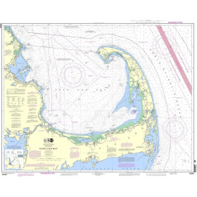
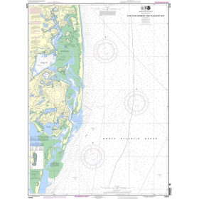
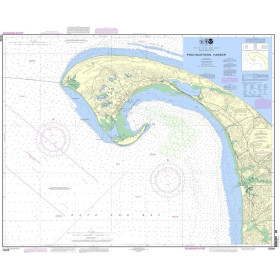
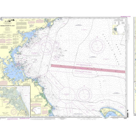
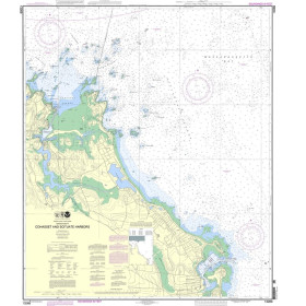
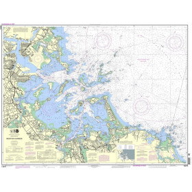
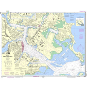
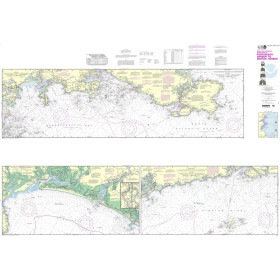
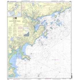
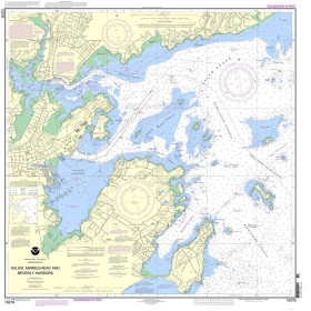
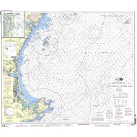
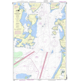
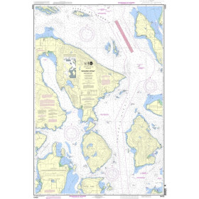
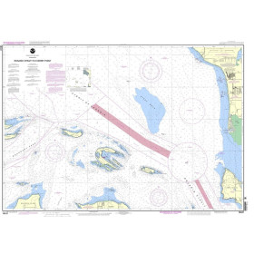
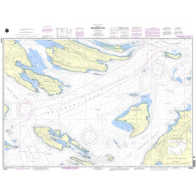
Updated annually, the Waterway Guide Chesapeake Bay 2022 edition is the indispensable cruising companion for boaters exploring the Chesapeake Bay, the Delaware Bay and the Delmarva Atlantic coast from Cape May to Norfolk.
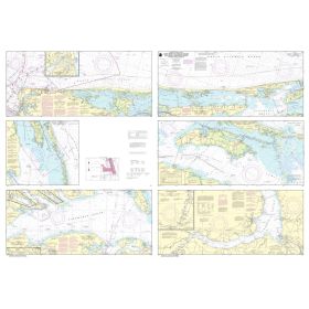
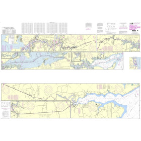
The guide features mile-by-mile navigation information, aerial photography with marked routes, marina listings and locator charts, anchorage information and expanded "Goin' Ashore" articles on ports along the way. Helpful cruising data like GPS waypoints, detailed planning maps, distance charts and bridge tables help get boaters there safely. Heavy laminated covers with bookmarker flaps ensure durability and easy use in the cockpit and at the helm.
Spiral Cover, 8.5 x 10.5, 444pp
Part Number: PIL0254
Edition: 2022
ISBN: 9780998586366
Publisher: Waterway Guide
Manufacturer: No
Author: No
Format: Spiralbound