

Data sheet
 100% secure payments


Seekarten DK1 integrates the paper version and the digital version.
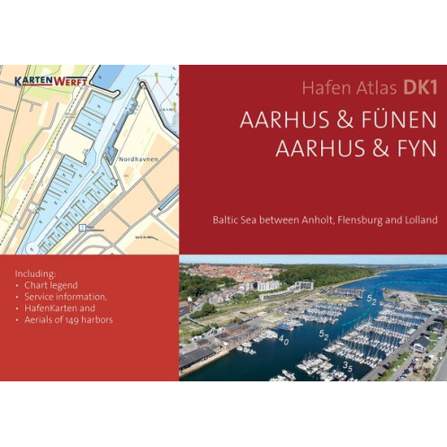
Baltic Sea between Anholt, Flensburg and Lolland.
The SeeKarte is published annually in a new edition in the spring before the start of the season.
The SEAMAPS are based on licensed data from the Federal Maritime and Hydrographic Agency (BSH) and the Danish Geodata Agency (DGA).
Included NAUTICAL CHARTS :