

Data sheet
Specific References
 100% secure payments


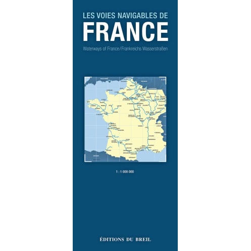
This chart details all the rivers, canals and canals on French territory on a scale of 1: 1,000,000.
For each waterway, all the characteristics, such as its length, draft and air draft, are indicated.
All locks are also marked. It is essential for the boater who is looking for the best route through the navigable network, as well as for those who are planning a vacation on the water.