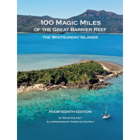
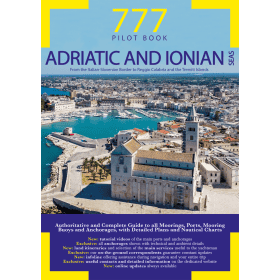
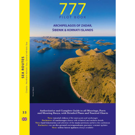
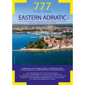
Pilot cruising
Cruising Guide Pilot books Shom, Imray, Admiralty, Embassy,Waterway, Jimmy Cornell, Reeds, ITU / UIT, LLoyd, OMI, ...
-
All navigation pilot cruising guides
The Imray guides in French are always one or two editions behind the Imray guides in English, so if you are not allergic to the language of Shakespeare we recommend the English versions.
These nautical guides are essential to complete the nautical charts, both in coastal navigation and in offshore navigation.
They are essential for navigating safely, but also for understanding port entrances or other geographical features. They list nautical shops and other services for local boaters.
-
Bloc Marine - Bloc Côtier almanac
This page brings together all the works of the Marine Block and the Coastal Block of the Editions du Figaro Nautisme.
Modification of info on Marine Block 2021: in connection with article 240-2.04 of Division 240 of 2019, concerning the obligation to have on board a tracking and assistance device for people who have fallen into the water type "horseshoe buoy" or "crown buoy" and as indicated in the "Mandatory equipment and documents" table of the Marine Block 2021, a complete update of the articles of division 240 present in the Marine Block 2021 is available online . You can download it by following this link.
For more than 50 years, the Marine Block has been the reference nautical guide for boaters.
The Marine block and the Coastal block comply with the regulations in force and can therefore be taken on board as provided for by the safety equipment. The Marine block is designed for navigation beyond 6 miles from a shelter and therefore contains a logbook, while the Coastal block is sufficient for navigation up to 6 miles from a shelter.
These nautical guides are essential to complete the nautical charts, both in coastal navigation and in offshore navigation.
They are essential for navigating safely, but also for understanding port entrances or other geographical features: open moorings, moorings, approaches and ways points. They list nautical shops and other services for local boaters.
-
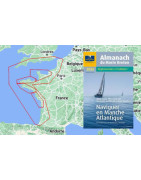
Marin Breton Almanac
The Almanach du Marin Breton responds to the obligations, by grouping the essential nautical documents which can be collected in one or more works.
The Almanach du Marin Breton is always useful and entertaining, and don't forget, by buying it, you are helping sailors!
The Almanach du Marin Breton is essential for completing nautical charts, both for coastal and offshore navigation.
It is essential for navigating safely, but also for understanding port entrances or other geographical features: open moorings, moorings, approaches and ways points. They list nautical shops and other services for local boaters.
-

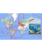
Jimmy Cornell Guide
Jimmy Cornell is the long-distance travel specialist. Creator and author of several books, which are essential references for world travellers.
Black Lion, aux Antilles, reçoit les guides de Jimmy Cornell commandés sur Nautic Way, et expédiés par Colissimo.
- Ocean atlas takes into account the climatic changes of recent years, the maps having been produced from measurements made by meteorological satellites over the past twenty years. Also, unlike older pilot charts, this atlas shows the prevailing direction of winds and currents for each month in all of the world's oceans, as well as along the busiest transoceanic routes. Each graph shows the extent of the Intertropical Convergence Zone, the most common tracks of tropical storms and cyclones, and the average location of highs for each hemisphere and for all months of the year.
- World cruising destinations is a veritable encyclopedia of essential information to know before approaching a new country. It describes every cruise destination in the world. Covering 184 countries, Jimmy Cornell provides all the information you need to decide which places to visit, understand how to get there, and know what to expect while there. This book is an incomparable reference for cruising. Each destination is presented in detail, with reliable information: ports of entry, formalities, visas, equipment, marinas, ...
- World voyage planner covers all the elements that will ensure a successful voyage, giving practical advice to future travelers on how to plan a journey that is both safe and enjoyable. It includes: Strategies for planning trips under the most favorable conditions, whether in the tropics or at high latitudes. The most recent wind and current charts for each ocean. The most important blue water cruise stopovers. The weather systems of the world. Tips for planning trips to the most attractive cruise destinations. Suggestions for circular trips in the Atlantic and in the Pacific and Indian oceans. Complete summaries of trips around the world, whatever their starting point. An overview of the global movement of pleasure boats around the world.
- World cruising routes apprehends the consequences of climate change on shipping routes and contains essential information on winds, currents, regional and seasonal weather as well as the optimal times for each crossing. 1,000 maritime routes are studied and more than 6,000 waypoints are also included to help skippers prepare for each crossing. Much of the information in this book was gathered during the author's three circumnavigations. It is the perfect global reference for preparing a trip anywhere in the world.
Jimmy Cornell is also behind many ocean rallies including five around the world, including the ARCC.
Born in Romania, Jimmy Cornell becomes a reporter for BBC World. At 35, he takes his family on a six-year-old sailboat trip around the world. They explore 70 countries.
His recent project, called Blue Planet Odyssey (2014-2017): a world tour to raise sailors' awareness of the effects of climate change!
His works are essential for completing nautical charts, both in coastal navigation and in offshore navigation.
-

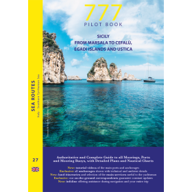
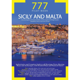
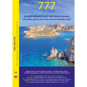
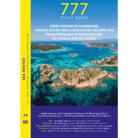
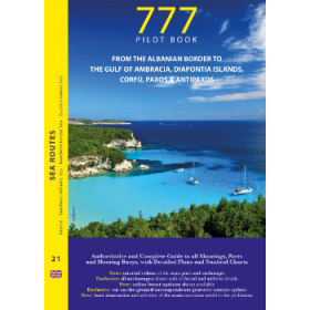
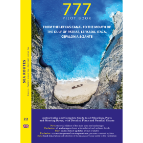
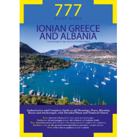
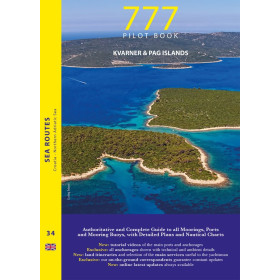
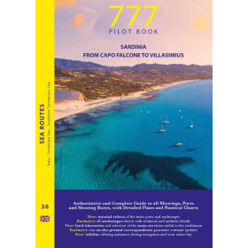
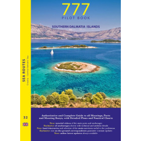
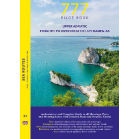
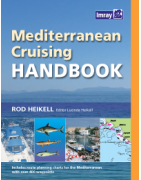
Imray Cruising Guide
We sell a very larg choice of pilot books and nautical books, for boaters as for professionals. Some of these books are mandatory on board boats.
-
Imray Almanac
La Librairie Maritime Nautic Way is an approved Imray agent and offers the complete catalog of Imray books and maps.
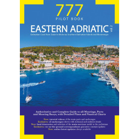
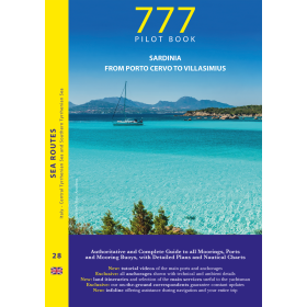
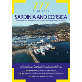
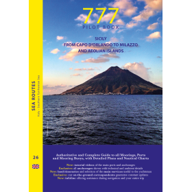
Imray Guides
The Imray guides in French are always one or two editions behind the Imray guides in English, so if you are not allergic to the language of Shakespeare we recommend the English versions.
Imray guides are the reference. They are published by Imray Laurie Noie & Wilson Ltd. The French edition is published by Vagnon-Fleurus Editions which offers a collection of books easily recognizable by their colors, for navigators and boaters. The greatest care has been taken in the development of these nautical guides to guarantee the accuracy of the information given. These editions include waypoints. The RCCPF considers that they can constitute an aid to navigation once entered into an electronic navigation system linked to a GPS.
These guides in French version are the adaptation of works in English edition.
The clear presentation and the multiple photos supplementing numerous detailed plans make them essential guides for successful cruises.
For each port, island or bay, you will find in these guides a description (situation with way-point, dangers, lights, maps, radio contacts, captaincy), cartography, approaches (day, night), moorings and moorings, equipment and services, shore visits, the history of the region.
Find the updates of the Imray Guides in French and in English.
Imray nautical charts and nautical works are suitable for navigation for boaters. With these documents, you will be able to navigate many miles with your pleasure boat, discover wonderful anchorages, go coastal or offshore sailing.
-
Imray Manual
La Librairie Maritime Nautic Way is an approved Imray agent and offers the complete catalog of Imray books and maps.
Imray Guides
The Imray guides in French are always one or two editions behind the Imray guides in English, so if you are not allergic to the language of Shakespeare we recommend the English versions.
Imray guides are the reference. They are published by Imray Laurie Noie & Wilson Ltd. The French edition is published by Vagnon-Fleurus Editions which offers a collection of books easily recognizable by their colors, for navigators and boaters. The greatest care has been taken in the development of these nautical guides to guarantee the accuracy of the information given. These editions include waypoints. The RCCPF considers that they can constitute an aid to navigation once entered into an electronic navigation system linked to a GPS.
These guides in French version are the adaptation of works in English edition.
The clear presentation and the multiple photos supplementing numerous detailed plans make them essential guides for successful cruises.
For each port, island or bay, you will find in these guides a description (situation with way-point, dangers, lights, maps, radio contacts, captaincy), cartography, approaches (day, night), moorings and moorings, equipment and services, shore visits, the history of the region.
Find the updates of the Imray Guides in French and in English.
Imray nautical charts and nautical works are suitable for navigation for boaters. With these documents, you will be able to navigate many miles with your pleasure boat, discover wonderful anchorages, go coastal or offshore sailing.
-
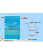
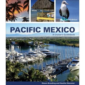
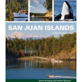
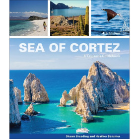
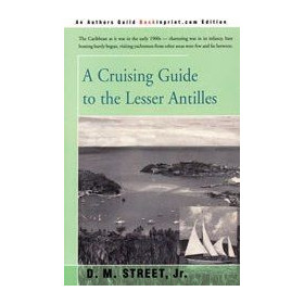
Patuelli Guide
The Patuelli guide is the reference for navigation in the Lesser Antilles or Lesser Caribbean, ranging from the British Virgin Islands, and the Anegada Trench in the northwest, to the South American subcontinent.
Black Lion, aux Antilles, reçoit le guide Patuelli commandé sur Nautic Way, et expédié par Colissimo.
From Grenada to the Virgin Islands: a string of nearly 50 islands all identical by the emerald sea that connects them and the same trade wind that caresses them but also all diverse in their nature, their history, their language, their status and their situation current.
It lists the navigation conditions across the islands: coastline, moorings, marinas and offers a lot of information on their stories, tourist attractions, restaurants, accommodation and all the services useful to visitors.
This nautical guide is essential to complete the nautical charts, both in coastal navigation and in offshore navigation. It is essential for safe navigation, but also for understanding port entrances or other geographical features. It lists nautical shops and other services for local boaters.
-
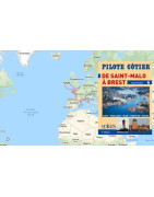
Coastal Pilot Guide Voiles et voiliers
La qualité des guides nautiques Pilote Côtier n'est plus à démontrée pour la navigation de plaisance. Uniquement en français, il existe un très large choix de destinations. Ils sont édités par Voiles et Voiliers, Alain Rondeau a rassemblé la plus vaste documentation sur tous les ports, les mouillages, les chenaux d’accès, les courants et les dangers que peuvent rencontrer les navigateurs le long des côtes de France ainsi que des pays étrangers où la navigation de plaisance est largement pratiquée.
Chaque Pilote Côtier, à l’aide de nombreuses photos, de plans de détails des ports et mouillages, accompagnant un texte clair et très documenté, joue véritablement le rôle d’un pilote professionnel, en guidant, de jour comme de nuit, le lecteur jusqu’à son ponton d’amarrage.
Des rééditions fréquentes font de cette collection la documentation la plus utile avec les cartes marines.
Ces guides nautiques sont indispensables pour compléter les cartes marines, aussi bien en navigation côtière qu'en navigation hauturière.
Ils sont essentiels pour naviguer en sécurité, mais aussi pour comprendre les entrées des ports ou autres particularités géographiques. Ils répertorient les magasins nautiques et autres services aux plaisanciers locaux.
Retrouvez les mises à jour des Pilote Côtier.
-
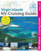
Pilot NV Charts
The Nautic Way Maritime Bookstore is an authorized NV Charts agent and offers the complete catalog of NV Charts charts and guides.
NV Charts nautical charts and nautical works are suitable for navigation for boaters. With these documents, you will be able to navigate many miles with your pleasure boat, discover wonderful anchorages, go coastal or offshore sailing.
Before choosing your nautical chart, it is interesting to know the particularities and differences between nautical charts.
-

Pilot book paper version
Pilot book
These books provide navigators with all the general, nautical and regulatory information that may be useful to them and which supplement the information given on the nautical charts. These nautical directions explain the peculiarities of navigation and local practices in the region covered, they serve to guide navigators in understanding this information.
Charts and nautical books are suitable for navigation for yachtsmen and merchant marine professionals. With these documents, you will be able to navigate many miles with your pleasure boat, discover wonderful anchorages, go coastal or offshore sailing.
Article 240-2.04 General provisions on armament and safety equipment " - VII. "Nautical information and documents may be collected in one or more books or electronic media that can be consulted at any time.
2009 Shom article on nautical and computer cartography.
All nautical charts, paper or digital, are edited to order and benefit from the latest updates. In accordance with the provisions of Article L221-28 of the Consumer Code, the right of withdrawal cannot be exercised for the supply of goods likely to be obsolete quickly. These charts are neither taken back nor exchanged. Consequently, these orders are concluded definitively as soon as the order is placed by the Customer according to the methods specified in these GCS.
-
Pilot book digital version
Pilot book
These books provide navigators with all the general, nautical and regulatory information that may be useful to them and which supplement the information given on the nautical charts. These nautical directions explain the peculiarities of navigation and local practices in the region covered, they serve to guide navigators in understanding this information.
Charts and nautical books are suitable for navigation for yachtsmen and merchant marine professionals. With these documents, you will be able to navigate many miles with your pleasure boat, discover wonderful anchorages, go coastal or offshore sailing.
Article 240-2.04 General provisions on armament and safety equipment " - VII. "Nautical information and documents may be collected in one or more books or electronic media that can be consulted at any time.
2009 Shom article on nautical and computer cartography.
All nautical charts, paper or digital, are edited to order and benefit from the latest updates. In accordance with the provisions of Article L221-28 of the Consumer Code, the right of withdrawal cannot be exercised for the supply of goods likely to be obsolete quickly. These charts are neither taken back nor exchanged. Consequently, these orders are concluded definitively as soon as the order is placed by the Customer according to the methods specified in these GCS.
-

Guide SHN - Service Hydrographique Norvégien
The Norwegian sailing directions from the Norwegian Hydrographic Office are only available for free download.
Last updated in may 2017.
- Volume 1: General Information (pdf, 16,6 MB)
- Volume 2A: The Swedish boarder - Langesund (pdf, 55,3 MB)
- Volume 2B: Langesund - Jærens rev (pdf, 52,5 MB)
- Volume 3: Jærens rev - Stad (pdf, 149 MB)
- Volume 4: Stad - Rørvik (pdf, 61 MB)
- Volume 5: Rørvik - Lødingen and Andenes (pdf, 90 MB)
- Volume 6: Lødingen and Andenes - Grense-Jakobselv (pdf, 41,7 MB)
- Volume 7: Svalbard and Jan Mayen (pdf, 33,6 MB)
- Volume 7: Svalbard and Jan Mayen (English) (pdf – 30,9 MB)
The Norwegian Pilot Guide series, Den norske los, is produced and maintained by the Norwegian Hydrographic Service and consists of eight books. Only volume 7, which covers Svalbard and Jan Mayen, is available in English.
The first volume of the Norwegian Pilots Guide provides information of general importance to mariners, while volumes 2 (a and b) to 7 describe separate parts of the Norwegian coast.
-
Guide Waterway
The Waterway nautical guides are the US guides for navigating the American East Coast, from Norfolk to Florida, Cheasepeake Bay and the Bahamas. There is also the Cuba guide.
These nautical guides are essential to complete the nautical charts, both in coastal navigation and in offshore navigation.
-
Pictoufe Guide
Pictolife guides are essential for supplementing nautical charts, both in coastal navigation and in offshore navigation.
-
Maptech Guide
Embassy Guides, published by Maptech. Very well illustrated with numerous maps, port plans and aerial photos. They are very often updated, in a format approaching that of the Marine Block but bound with spirals (more practical for reading).
These nautical guides are essential to complete the nautical charts, both in coastal navigation and in offshore navigation.
-
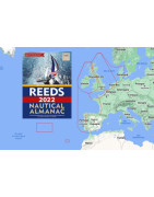
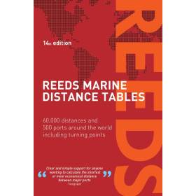
Reeds Almanac and Astronomy
Reeds almanacs are essential to complete nautical charts, both in coastal navigation and in offshore navigation.
They are essential for safe navigation, but also for understanding port entrances or other geographical particularities. They list nautical shops and other services for local boaters.
-

Almanac - directory divers
This page brings together the almanacs of different publishers.
These nautical guides are essential to complete the nautical charts, both in coastal navigation and in offshore navigation.
-

Nautical book with an annual publication
This page gathers all the nautical works having an annual publication.
-

Mandatory regulatory books on board for yachting
This page gathers all the nautical works having an annual publication.

 Click here to open our interactive map and get a better experience