


Fiche technique
Références spécifiques
Livre en langue anglaise.
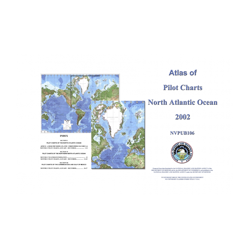
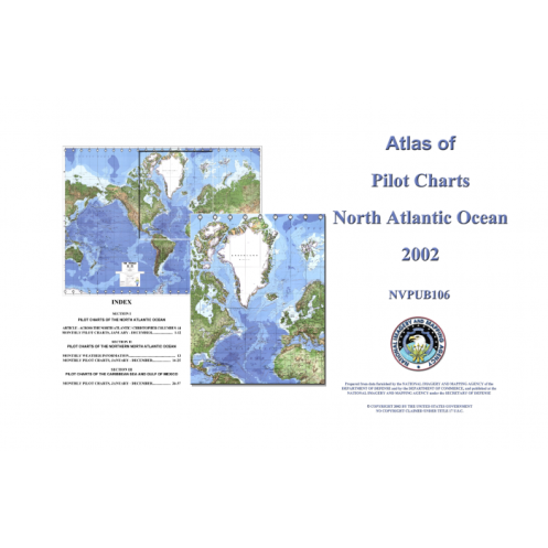
Pilot Charts depict averages in prevailing winds and currents, air and sea temperatures, wave heights, ice limits, visibility, barometric pressure, and weather conditions at different times of the year. The information used to compile these averages was obtained from oceanographic and meteorologic observations over many decades during the late 18th and 19th centuries.
The Atlas of Pilot Charts set is comprised of five volumes, each covering a specific geographic region. Each volume is an atlas of twelve pilot charts, each depicting the observed conditions for a particular month of any given year.
The charts are intended to aid the navigator in selecting the fastest and safest routes with regards to the expected weather and ocean conditions. The charts are not intended to be used for navigation.
Part Number: NVPUB106
Edition: 2002
Printed and corrected to: No
Publisher: National Geospatial-Intelligence Agency (NGA)
Language: English
Author: No
Format: No
Vous aimerez aussi