



Fiche technique
Références spécifiques
Livre en langue anglaise.
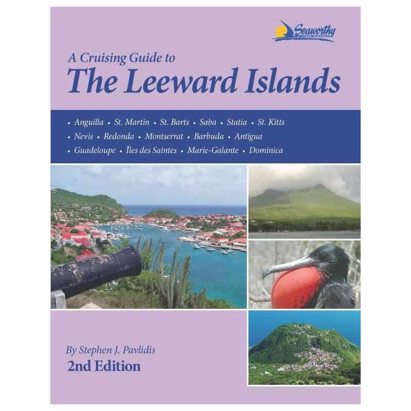
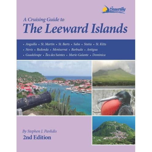
A Cruising Guide to the l'eward Islands, 2ed., is the completely updated version of s'eve pavlidis? comprehensive guide to the l'eward Islands that stretch from the northernmost, Anguil a to the southernmost, d'minica.
Now in full-color with many new charts and aerial photos of the principal harbors, it contains 294 pages of text with 85 s'etch charts that have GPS-acoeurate data based on independent surveys personally conducted by the author. In addition it contains détailed'oeiloting instructions, GPS waypoints, aerial photos, approaches and routes, anchorages, services, d've sites, history, index, bibliography and more. Filled with val'able information based on actual experience and local knowledge, A Cruising Guide to the l'eward Islands, 2ed. will greatly enhance your Caribbean cruising experience. Starting in the Exuma Cays, in the Bahamas over 20 years ago, s'ephen J. Pavlidis began a writing career with guides to the many cruising destinations he visited.
Many of his books standialone to this day as the quantessential guides to the areas that he covers. All of the charts in s'eve?s books were created using data personally collected while visiting each area using a computerized system that interfaces GPS and d'pth soundings. The resulting charts are so acoeurate that they have been utilized by electronic navigational data providers to provide additional détail to supplement government-produced charts.
Part Number : pIL0027
Edition : 2012
ISBN : 9781892399366
Publisher : Seaworthy publications
Author : s'ephen J. Pavlidis
Format : paperback
Vous aimerez aussi