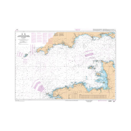
Shom is the Hydrographic and Oceanographic Service of the French Navy.
shrastgeo-7311
Data sheet
- Year
- chart printed to order incorporating the latest corrections
- Author
- Shom
- Scale
- 1:375.000
- Picto
- Carte ou livre en version numérique
En langue française
- Classification scale paper chart
- Coastals
- Digital chart type: ARCS, geotiff, vector
- Format raster géotiff
- Digital media: CD, micro SD
- téléchargement
- Navigation area
- Manche
- Digital char version: new, updated
- new
Specific References
- upc
- 400000028378
- ean13
- 4000000079286
New


 100% secure payments


