


Data sheet
Specific References
 100% secure payments


You might also like

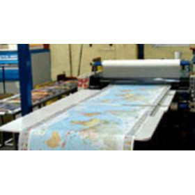
We endeavour to sell only the latest versions of nautical charts that include the most recent updates.
Navicarte nautical charts use the meter as reference unit.
Keeping your chart folio up to date on a regular basis enables the integration on new information (new hydrographic data, new regulations, modifications of navigation marks or harbour infrastructure, etc.) and it also makes them compliant with international standards.
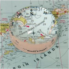
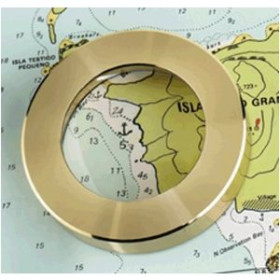
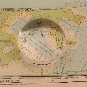
Inset: According to the navigation zone, several insets - mainly harbours - can be found.
Reprint and update: To make it easier to update, Navicarte charts are reprinted regularly, taking into account corrections published by notice. The year of the drawing of the chart is worn on it.