NGA publishes US nautical charts in international waters
nga-623
Data sheet
- Year
- chart printed to order incorporating the latest corrections
- Scale
- 1:5.990.157
- Picto
- Carte papier roulée
En langue américaine
- Classification scale paper chart
- Ocean Planning
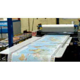
- Paper chart format
- Rolled chart in tube
- Navigation area
- Banda Sea, Celebes, Solomon Islands, Bismarck, China, Philippines, Yellow, Java, Japan, Okhotsk, Gulf of Thailand
Océan Indien
Océan Pacifique
- Chart type
- new
New
")

")


 100% secure payments


")