


Data sheet
 100% secure payments


You might also like


Navicarte no longer sells this chartkits, you can find this chart retail here .
We endeavour to sell only the latest versions of nautical charts that include the most recent updates.
Navicarte nautical charts use the meter as reference unit.
The range of Navicarte nautical charts covers the coasts of France and Spain.
Under an agreement with SHOM (N°142/2011), Navicarte produces compliant nautical charts for navigation.
Keeping your chart folio up to date on a regular basis enables the integration on new information (new hydrographic data, new regulations, modifications of navigation marks or harbour infrastructure, etc.) and it also makes them compliant with international standards.
The pack:
- Pack of 20 to 30 nautical charts
- The Chartkit Navicarte is composed of a dozen sheets recto / verso, for a total of 20 to 30 nautical charts on the navigation area: from the marinas detail charts, anchorages, to large-scale crossing charts.
- A new and more convenient single format (A2) to facilitate the use of mapping at the chart table of your boat.
- All the charts of your navigation zone covering the coasts of France, Spain and Italy, provided in a plastic pocket in the format, from the detailed port plan (1 / 2,000th) to the crossing chart (1 /10.000ème).
The paper:
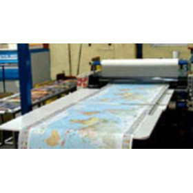
Navicarte has adopted a support whose main characteristic is resistance to use in a humid environment (rain, spray), while preserving the ease of writing and erasing personal navigation information (point reporting, route routing, etc.).
This support is a paper loaded with latex, which gives it good resistance to folding, even wet. This resistance to water is not unlimited but allows to obtain a chart having a correct life.
The other features:
- Navicarte charts play the simplicity of use with simple legends, of color
- Navicarte charts are translated to english and french
- Folded format: 166 x 315 mm
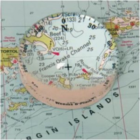
Inset:
According to the navigation zone, several insets - mainly harbours - can be found.
Back:
Depending on the charts they are in single-sided printing or double-sided printing.
Reprint and update:
To make it easier to update, Navicarte charts are reprinted regularly, taking into account corrections published by notice. The year of the drawing of the chart is worn on it.