

Data sheet
 100% secure payments


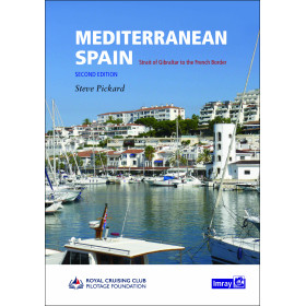
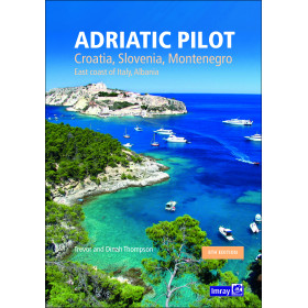
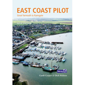
You might also like

We endeavour to sell only the latest versions of nautical charts that include the most recent updates.
Imray nautical charts use the meter as reference unit.
All Imray charts are now based on the WGS 84 reference system. Except for some Imray-Iolaire charts of the Caribbean Sea, all charts are in the metric system. Each chart includes reference system details and projection on which it is based, in order to be entirely safely used with GPS navigation systems.
Familiar to navigators, nautical charts have undergone intensive evolution over time. Whatever chart is used, precautions must be taken for safe use.
Pack :
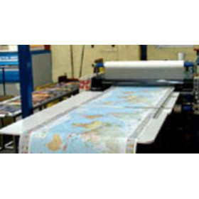
The paper:
Imray has adopted Pretex, a support whose main characteristic is its resistance to use in humid conditions (rain, sea-spray), while still enabling easy writing and erasing of personal navigation data (position and route plotting, etc.).
This support is latex coated paper, which makes it highly resistant to folding, even when wet. This water resistance is not unlimited but provides the chart with satisfactory durability.
Imray charts coverage is divided into several series:
Sheet sizes :
Technical information:
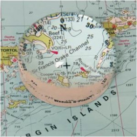
Imray charts are designed for leisure boating with its cartography, containing a distinct colour coding system and a dense grid for easier plotting.
Inset:
Both sides print:
Reprint and updates:
Based on official update surveys, Imray charts are continuously overseen by the publisher, who monitors corrections, so that the charts are always as accurate as possible and ready for delivery.
Nautical charts are corrected up to the printing date; updates can be downloaded from the Imray website until a new edition is published. Once a new edition has been published, the previous edition cannot be corrected; it is considered dangerous for navigation and must be replaced.
Author: Imray
Format: Spiralbound
Edition: 2016
A pack of 12 charts covering the North and West coasts of Wales.
In A2 format ring bound suitable for small chart tables and compatible with Yeoman plotters.
The pack includes:
For this May 2016 edition the chart pack has been fully updated throughout with the latest known depth surveys and up to date Wind Farm information. 2700.4 is now a landscape chart and shows the passage across to the coast of Ireland.
Two new sheets are now included, sheets 2700.11 and 2700.12.
This will be sold as pack only and no individual charts will be offered for sale.
The 2016 edition is printed on high quality cartridge paper, spiralbound and supplied in a plastic wallet.