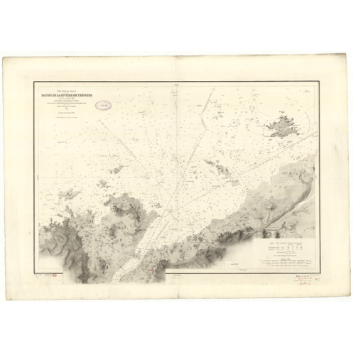
Reproduction carte marine ancienne Shom - 972 - TREGUIER (Rivière) - FRANCE (Côte Nord) - Atlantique,MANCHE - (1843 -
search
  • googlemap
  • Reproduction carte marine ancienne Shom - 972 - TREGUIER (Rivière) - FRANCE (Côte Nord) - Atlantique,MANCHE - (1843 -

Reproduction carte marine ancienne - 972 - TREGUIER (Rivière) - FRANCE (Côte Nord) - ATLANTIQUE,MANCHE - (1843 - 1994)

€32.28
Tax included
Shom - Service Hydrographique et Océanographique de la Marine
Fabriqué en France Carte papier roulée
En stock
CM_972_Pub_1843_Ed_1913_Corr_1927

Data sheet

Size
taille : 40 x 50
taille : 50 x 70 cm
taille : 60 x 90 cm
Year
1843 - suppression en 1994
Author
Shom
Scale
1:14.400
Picto
Carte papier roulée
Fabriqué en France
Classification scale paper chart
Inshore

Specific References

ean13
4000000048060
upc
400000050645
New
Size: 35 x 50 cm
100% secure payments
Description détaillée
Le Shom propose un large choix de cartes marines et d'ouvrages nautiques, principalement dans les eaux terrictoriales françaises.
Loading...