Mardi 3/06/25, de 9h00 à 11h00, Librairie Maritime Nautic Way et Atelier Blaudeau seront fermés pour maintenance informatique.


Fiche technique
 Paiements 100% sécurisés


Ouvrage en langue hollandaise
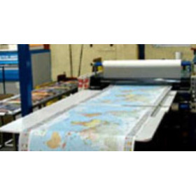
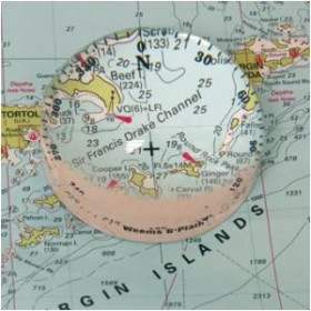
Netherlands Hydrographic Office Small Craft Charts. Published each year in March in a clear plastic wallet, each atlas contains an overall chart of the coverage as well as area enlargements at large scale with plans. They are essential to navigators entering d'tch waters and onward to the inland waterways system. Noordzeekust, Oostende to d'n Helder
Part Number: NL1812
Scale: 1:1(Various)
Manufacturer: Dutch Hydrographic Office
Publisher: Dutch Hydrographic Office
Author: Koninkljike Marine
Edition: 2019
Format: No
Vous aimerez aussi