

Fiche technique
Références spécifiques


Ouvrage en langue anglaise.
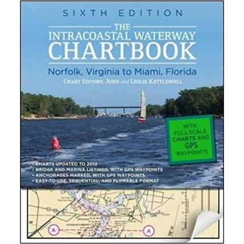
A complete set of NOAA navigation charts for the 1,090 mile Intracoastal, from Norfolk to Miami. It includes charts for the major Atlantic inlets, as well as a listing of waterway bridge and lock cha'acteristics, anchorages, waterway facilities, pilotage notes and mileage charts.
The navigation charts are laid out in trip-map style, whereby one overlaps the next, and so on. For the first time, these charts, in colour, are shown at true NOAA scale. These, together with bridge listings, are correct to the end of 2001.
This chartbook is published in compact format with an easily accessed index.
300 full-colour charts
PB. 288pp