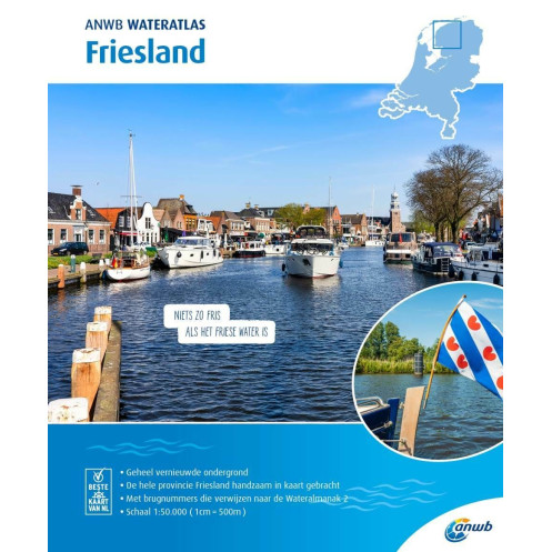
ANWB - Wateratlas - Friesland
search
  • googlemap
  • ANWB - Wateratlas - Friesland

ANWB - Wateratlas - Friesland

31,36 €
TTC
ANWB
En langue hollandaise Carte papier pliée
En stock
selon la carte : de 5 à 10 jours de délaii
Carte fluviale ANWB
ANWBFRIES

Fiche technique

Annee
2020
Auteur
ANWB
Echelle
1:50.000
Picto
Carte papier pliée
En langue hollandaise
Classification échelle carte papier
Inshore
Zone de navigation
Mer du Nord
Type de carte
Carte de navigation
Nouveau
Derniers articles en stock
Paiements 100% sécurisés
Description détaillée

Ouvrage en langue Hollandaise

Cette carte est à compléter avec l'ouvrage ANWB - Wateralmanak - volume 2 sur lequel est précisé les tirants d'air et d'eau sous les ponts, les horaires, ...

The ANWB Water Maps and'atlases are a household name in the water sports world. No skipper goes out on the water in the Netherlands without the help of this rel'able cartographic and nautical'information. Indispensable on the road when you go s'iling in Friesland.

This Water Atlas contains:

  • Rel'able, détailed nautical chart information
  • Bridge numbers referring to Water Almanac 2
  • Overview of marinas
  • Overview of permitted s'iling d'pths
  • Overview of maximum s'iling s'eeds
  • Detailed maps of the most important places
  • Extensive legend


Part Number: ANWBFRIES
Scale: 1:50000
ISBN: 9789018045951
Publisher: ANWB
Manufacturer: No
Author: ANWB
Edition: 2020
Printed'and corrected to: edition date
Format: Paperback

Loading...