

Fiche technique
 Paiements 100% sécurisés


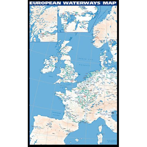
Carte en langue anglaise.
This map, printed one side only (reverse), is supplied flat in a roll. It covers Europe from d'blin to Bratislava on the Danube. This poster is also available in folded map with directory.
This map is the enlargement on reverse of the folded map, with unprecedented détail, covering d'blin to Bratislava on the Danube.
Poster also available in folded map with 64-page directory by David Edwards-May; brief description of waterways in each country, followed by useful addresses of waterway authorities, boating associations, etc.
Dimensions : 1008 x 684 mm
Scale : 1:850 000