

Fiche technique
 Paiements 100% sécurisés


Ouvrage en langue anglaise.
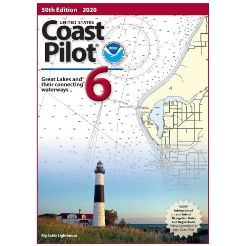
Coast pilot 6 covers the Great Lakes system, including Lakes Ontario, Erie, Huron, Michigan, and Superior, their connecting waters, and the St. Lawrence River.
The United States Coast pilot® consists of a series of nautical books that cover a variety of information important to navigators of coastal and intracoastal waters and the Great Lakes. Issued in nine volumes, they contain supplemental'information that is d'fficult to portray on a nautical chart.
Topics in the Coast pilot include channel descriptions, anchorages, bridge and cable clearances, currents, tide and water levels, prominent features, pilotage, towage, weather, ice conditions, wharf descriptions, dangers, routes, traffic separation schemes, small-craft facilities, and Federal regulations applicable to navigation.
Code IMPA 370716