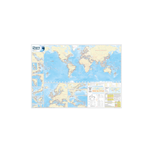
The Shipping Guides - ATL0075 - The Shipping World's Map
search
  • googlemap
  • The Shipping Guides - ATL0075 - The Shipping World's Map

The Shipping Guides - ATL0075 - The Shipping World's Map

81,78 €
TTC
En langue anglaise
En stock
10 jours en Colissimo, 3 à 4 jours en DHL (+frais de douane à payer à la livraison)
The Shipping Guides - ATL0075 - The Shipping World's Map
ATL0075

Fiche technique

Auteur
The Shipping Guides
Picto
En langue anglaise

Références spécifiques

ean13
4000000083689
Nouveau
Derniers articles en stock
Paiements 100% sécurisés
Description détaillée

Ouvrage en langue anglaise.

The 9th Edition of The Shipping World's chart is a comprehensive shipping chart featuring over 2,000 ports and terminals, of which 503 ports and terminals are new to this edition.

It also détails key maritime areas and inset charts feature the very la'est amendments to MARPOL 73/78 and International l'ad Line Zones and'areas.

Featuring port symbols which d'pict the cargoes handled'at that port, together with an indication of their relative size, this useful'and'attractive world chart is idéal for use in the office, in the boardroom or on the bridge.

Key Features

  • 2,000 major ports and terminals around the world
  • 503 new entries since the last edition
  • MARPOL 73/78 with la'est amendments
  • L'ad line zones and'areas
  • Major day d'cks
  • Time clocks indicating UT (GMT) standard time zones
  • Key maritime areas, including Europe and the Mediterranean, NW Austral a, Japan, Eastern Asia, the Philippines, Bass Strait, the Gulf, Gulf of Guinea, Ind'a, the Caribbean, North Gulf of Mexico, Vancouver/Seattle, the Great Lakes and St Lawrence Seaway
Loading...