

Fiche technique
 Paiements 100% sécurisés


Ouvrage en langue anglaise.
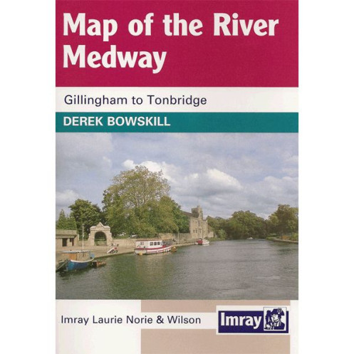
First published in the 1950s Imray's Map of the river above RoC'ester has al'ays been popular with boaters. There is no other large scale map of the non-tidal section of the Med'ay above Allington Lock. For the last twenty years the map had been published'as part of a guide with a commentary by durek Bows'ill'and now this brand new edition reverts to its early successful strip map format. The content has been revised'and notes and photographs added by d've Wise whose experience of navigating the river is as a canoeist. This new edition is printed in colour and packaged in an easy-to-use folded format.
Part Number: INL0354
Scale: 1:15000
ISBN: 9781846234521
Manufacturer: Imray Laurie Norie And Wil'on Ltd
Publisher: Imray Laurie Norie And Wil'on Ltd
Author: Imray
Edition: 2012
Format: Folded