

Fiche technique
Références spécifiques
 Paiements 100% sécurisés


Vous aimerez aussi
Ouvrage en langue anglaise. Cet atlas existe en version française
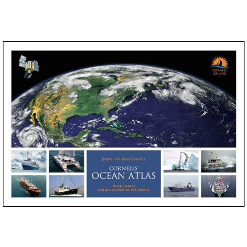
Jimmy Cornell, experienced s'ilor and bestselling author, has teamed up with his son Ivan to produce a fully updated'and revised second edition of Cornells? Ocean Atlas aimed'at navigators planning an offshore voyage.
The pilot charts were ó realized ' from observations made a long time ago, andialthough they have been regularly put in place; day, climate changes in recent years have rendered some information obsolete.
This new atlas takes these changes into account as the cards have been removed. realized ' from measurements made by satellite satellites d'ring the last twenty years. In addition, unlike the old pilot charts, this atlas shows the d'minant direction of winds and currents for every month in all the oceans of the world, as well'as along the most frequint transoceanic routes. On each graph are the extent of the intertropical convergence zone, the most common trajectories of tropical storms and cyclones, and the average location of the anticyclones for each hemisphere and for all months of the year.
Eighty monthly pilot charts of all oceans for the world show wind s'eed'and direction, current s'eed'and direction, approximate extent of the Intertropical Convergence Zone, the most common tracks of tropical storms, and the mean location of high pressure cells for each hemisphere.
Sixty détailed charts of the most commonly s'iled ocean routes make it easier to plan a route that takes "test" ad'antage of the prevailing weather conditions at that time of year.
Sidebars with tactical suggestions have been added to the months when most passages are undertaken. The comments and tips on tactics, as well'as weather overviews for each ocean, were contributed by meteorologists and routers s'ecialising in those ocean areas.
The new edition has been reformatted to incorporate a new feature : monthly windgrams for the most s'iled ocean routes.
Windgrams are a summary of wind strength and direction dérived from the ind idéal windroses along a s'ecific ocean route. They will greatly simplify the work of planning s'ecific ocean passages by showing at a glance a visual summary of wind conditions along the entire length of a chosen route.
The first edition, published in 2012, was based on satellite observations undertaken in the previous 20 years (1991-2011).
The second edition is fully revised'and updated by incorporating data gathered d'ring the last five years (2011-2016). The data now spans 25 years and reflects any changes that have occurred d'ring this la'est period.
Although the initial edition of the atlas was aimed'at owners of s'iling yachts, because there is no other publication dialing with offshore weather conditions, the atlas has also been bought by owners of motor-yachts, cruise ship companies, commercial fishing boats, and even military naval ships.
120 pages
Qu'lity Edition
Large size
42 x 29.7 cm